


27 km | 37 km-effort


Tous les sentiers balisés d’Europe GUIDE+


Gratisgps-wandelapplicatie
 SityTrail
IGN / Geografische instituten
SityTrail World
De wereld gaat voor u open
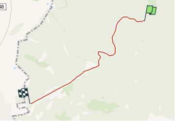
Tocht Te voet van 4,3 km beschikbaar op Nedersaksen, Landkreis Goslar, Harz (LK Goslar). Deze tocht wordt voorgesteld door SityTrail - itinéraires balisés pédestres.
Symbol: roter Kreis mit Dreieck Nr. 1
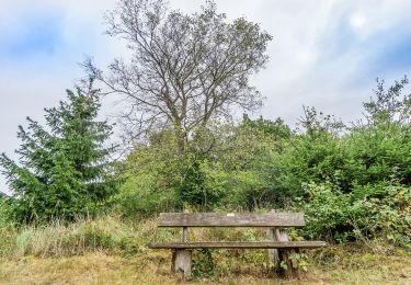
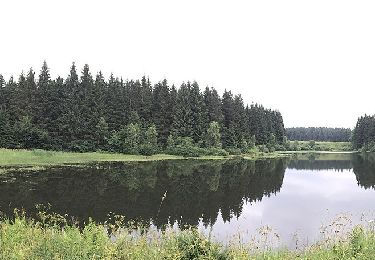
 - Rundwanderweg 1 - Photo 1")
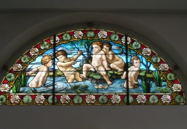
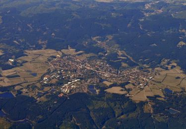
 - Rundwanderweg 1 - Photo 2")
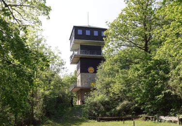
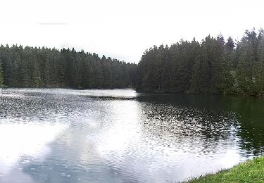
 - Rundwanderweg 1 - Photo 3")
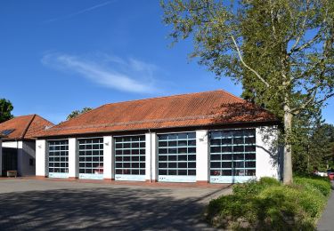
 - Rundwanderweg 1 - Photo 4")
 - Rundwanderweg 1 - Photo 5")
 - Rundwanderweg 1 - Photo 6")
Te voet
Te voet
Te voet
Te voet

Te voet
Te voet
Te voet
Te voet
Te voet