


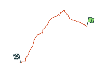

11,8 km | 14 km-effort

Tous les sentiers balisés d’Europe GUIDE+


Gratisgps-wandelapplicatie
 SityTrail
IGN / Geografische instituten
SityTrail World
De wereld gaat voor u open
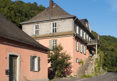
Tocht Te voet van 18,5 km beschikbaar op Rijnland-Palts, Rhein-Lahn-Kreis, Diez. Deze tocht wordt voorgesteld door SityTrail - itinéraires balisés pédestres.
Symbol: white horste and boat on brown ground


Te voet
Te voet
Te voet