


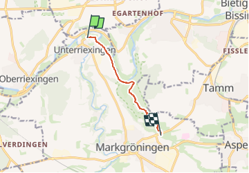

14,9 km | 17,3 km-effort

Tous les sentiers balisés d’Europe GUIDE+


Gratisgps-wandelapplicatie
 SityTrail
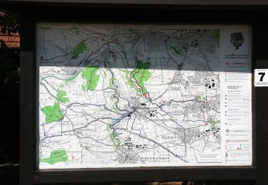
IGN / Geografische instituten
SityTrail World
De wereld gaat voor u open
Tocht Te voet van 5,5 km beschikbaar op Baden-Württemberg, Landkreis Ludwigsburg, Markgröningen. Deze tocht wordt voorgesteld door SityTrail - itinéraires balisés pédestres.
Trail created by Schwäbischer Albverein.
SAV Rotes Kreuz, von - nach?
Symbol: Rotes Kreuz auf weissem Grund


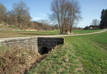
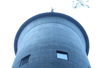
Te voet
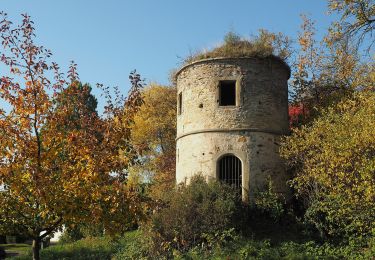
Te voet
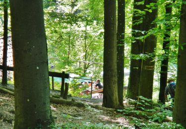
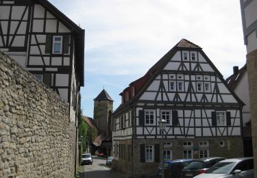
Te voet
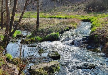
Te voet
Te voet
Te voet
Te voet
Te voet
Te voet