


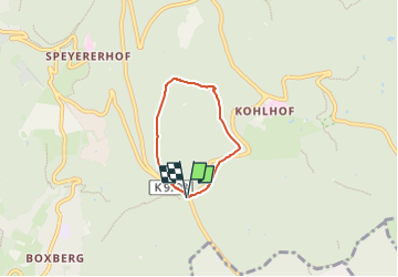

6,1 km | 9,2 km-effort

Tous les sentiers balisés d’Europe PRO


Gratisgps-wandelapplicatie
 SityTrail
IGN / Geografische instituten
SityTrail World
De wereld gaat voor u open
Tocht Te voet van 3,6 km beschikbaar op Baden-Württemberg, Heidelberg, Onbekend. Deze tocht wordt voorgesteld door SityTrail - itinéraires balisés pédestres.
Trail created by Naturpark Neckartal-Odenwald.
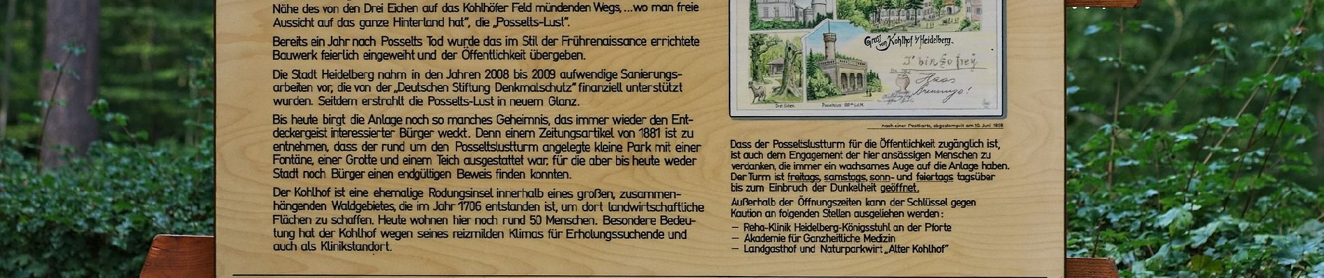
Symbol: Gelbe 8 im gelben Kreis


Te voet

Te voet
Te voet
Te voet
Te voet
Te voet
Te voet
Te voet
Te voet