


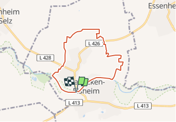

3,6 km | 4,6 km-effort


Tous les sentiers balisés d’Europe GUIDE+


Gratisgps-wandelapplicatie
 SityTrail
IGN / Geografische instituten
SityTrail World
De wereld gaat voor u open
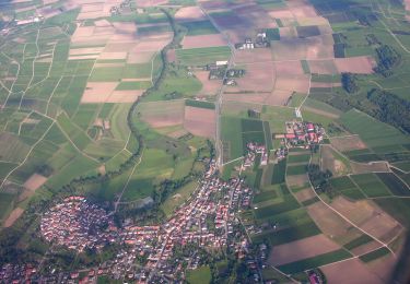
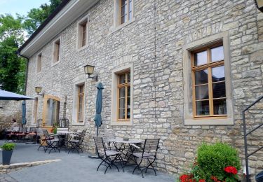
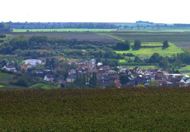
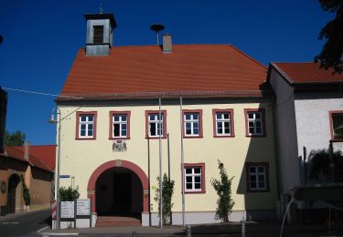
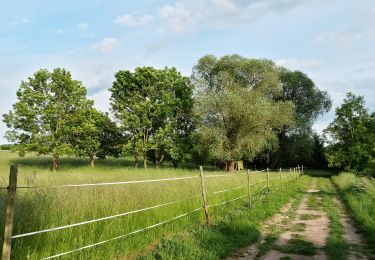
Tocht Te voet van 6,5 km beschikbaar op Rijnland-Palts, Landkreis Mainz-Bingen, Stadecken-Elsheim. Deze tocht wordt voorgesteld door SityTrail - itinéraires balisés pédestres.
Symbol: Einfach: Rechteck, oben blau, unten gelb. Design: Weinglas (?) vor blauem Himmel und gelbem Hügel
Te voet
Te voet
Te voet
Te voet
Te voet
Te voet
Te voet
Te voet
Te voet