


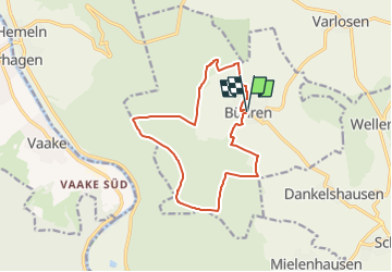

4,6 km | 6,4 km-effort

Tous les sentiers balisés d’Europe GUIDE+


Gratisgps-wandelapplicatie
 SityTrail
IGN / Geografische instituten
SityTrail World
De wereld gaat voor u open
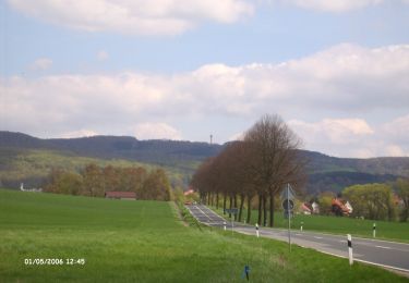
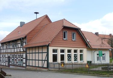
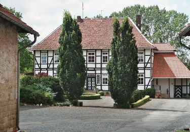
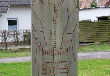
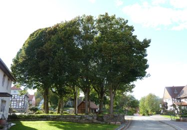
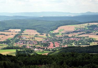
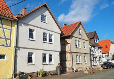
Tocht Te voet van 12,1 km beschikbaar op Nedersaksen, Landkreis Göttingen, Bühren. Deze tocht wordt voorgesteld door SityTrail - itinéraires balisés pédestres.
Trail created by Naturpark Münden.
Symbol: B1 im Kreis (gelb)
Website: http://buehren.wtulo.de/Wandern/Wandern1a.htm


Te voet
Te voet
Te voet
Te voet
Te voet
Te voet
Te voet
Te voet
Te voet