


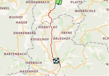

8,7 km | 11,5 km-effort

Tous les sentiers balisés d’Europe GUIDE+


Gratisgps-wandelapplicatie
 SityTrail
IGN / Geografische instituten
SityTrail World
De wereld gaat voor u open
Tocht Te voet van 6,3 km beschikbaar op Baden-Württemberg, Rems-Murr-Kreis, Großerlach. Deze tocht wordt voorgesteld door SityTrail - itinéraires balisés pédestres.
Trail created by Schwäbischer Albverein.
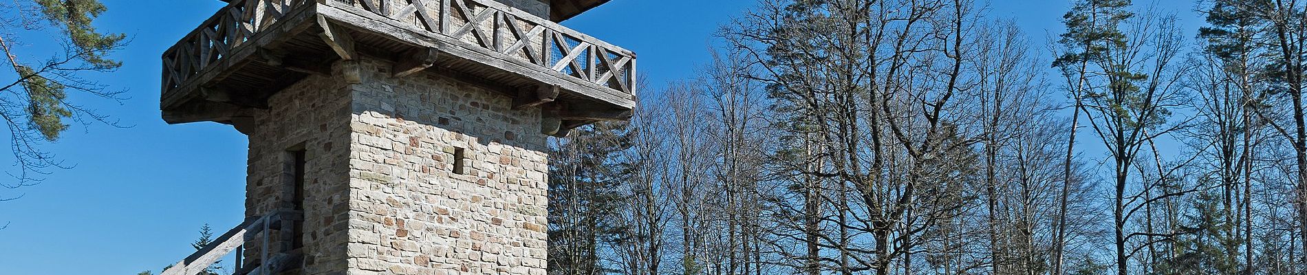
Markierung führt zu beiden Seiten weiter
Symbol: Blaues Plus auf weißem Grund


Te voet

Te voet
Te voet