


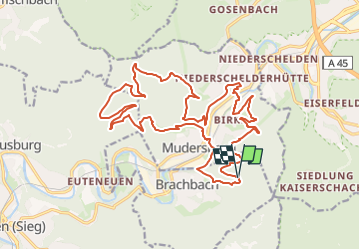

12,2 km | 16,9 km-effort

Tous les sentiers balisés d’Europe GUIDE+


Gratisgps-wandelapplicatie
 SityTrail
IGN / Geografische instituten
SityTrail World
De wereld gaat voor u open
Tocht Te voet van 22 km beschikbaar op Rijnland-Palts, Landkreis Altenkirchen, Brachbach. Deze tocht wordt voorgesteld door SityTrail - itinéraires balisés pédestres.
Trail created by Sauerländischer Gebirgsverein.
Website: http://www.sgv-mudersbach.de/wanderwege.html

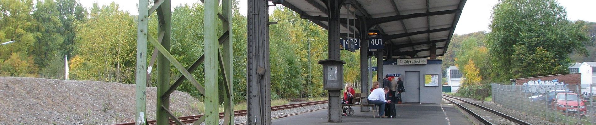
Te voet
Te voet
Te voet

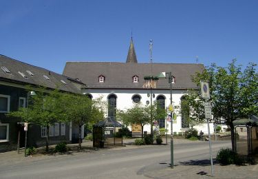
Te voet
Te voet
Te voet
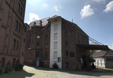
Te voet
Te voet
Te voet