


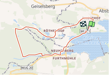

22 km | 31 km-effort

Tous les sentiers balisés d’Europe GUIDE+


Gratisgps-wandelapplicatie
 SityTrail
IGN / Geografische instituten
SityTrail World
De wereld gaat voor u open
Tocht Te voet van 8,9 km beschikbaar op Beieren, Landkreis Weißenburg-Gunzenhausen, Absberg. Deze tocht wordt voorgesteld door SityTrail - itinéraires balisés pédestres.
Trail created by Fränkisches Seenland.
abgeschlossen (Februar 2014, by cycling_zno)
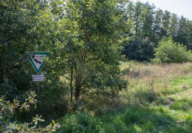
Symbol: Blaue Tafel mit weißer 132


Te voet
Te voet
Te voet
Te voet
Te voet
Te voet
Te voet
Te voet
Te voet