


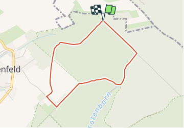

7,8 km | 11,5 km-effort

Tous les sentiers balisés d’Europe GUIDE+


Gratisgps-wandelapplicatie
 SityTrail
IGN / Geografische instituten
SityTrail World
De wereld gaat voor u open
Tocht Te voet van 3,3 km beschikbaar op Nedersaksen, Landkreis Schaumburg, Auetal. Deze tocht wordt voorgesteld door SityTrail - itinéraires balisés pédestres.
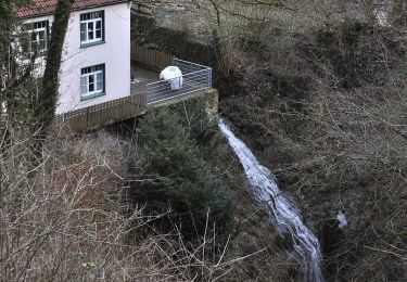
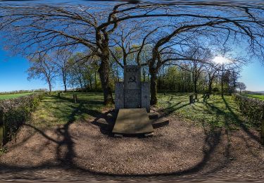
Das natour.NAH.zentrum Schillat- Höhle ist der ideale Ausgangspunkt für Strecken- und Rundwandertouren. Der Weserbergland-Weg und viele mehr führen direkt an diesem vorbei.
Website: http://www.schillathoehle.de/de/wanderwege/#/de/westliches-weserbergland_neu/default/detail/Tour/269483F7AFC09A3652CC196E087EC751/ho6-blutbach-route


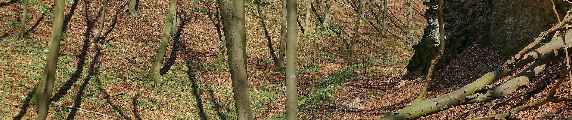
Te voet
Te voet
Te voet
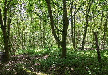
Te voet
Te voet
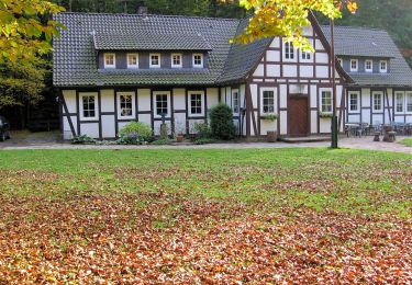
Te voet
Te voet
Te voet
Te voet