


7,5 km | 10,2 km-effort

Tous les sentiers balisés d’Europe GUIDE+


Gratisgps-wandelapplicatie
 SityTrail
IGN / Geografische instituten
SityTrail World
De wereld gaat voor u open
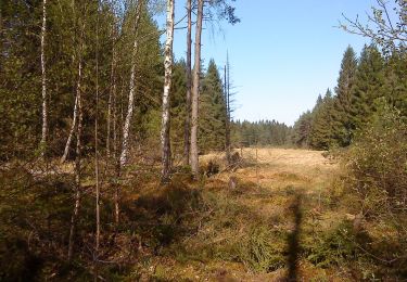
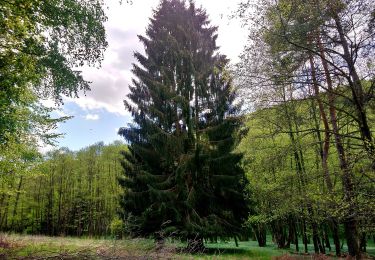
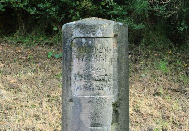
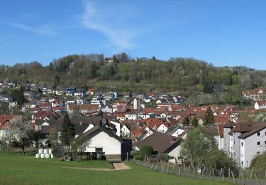
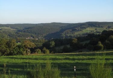
Tocht Te voet van 12,8 km beschikbaar op Hessen, Main-Kinzig-Kreis, Jossgrund. Deze tocht wordt voorgesteld door SityTrail - itinéraires balisés pédestres.
Trail created by Naturpark Hessischer Spessart, Main Kinzig Kreis.
Symbol: blauer Strich und grüner Bogen über gelbem Rechteck, auf weißem Hintergrund mit blauem geschwungenem Rahmen
Website: https://www.spessartbogen.de/de/spessartfaehrten/
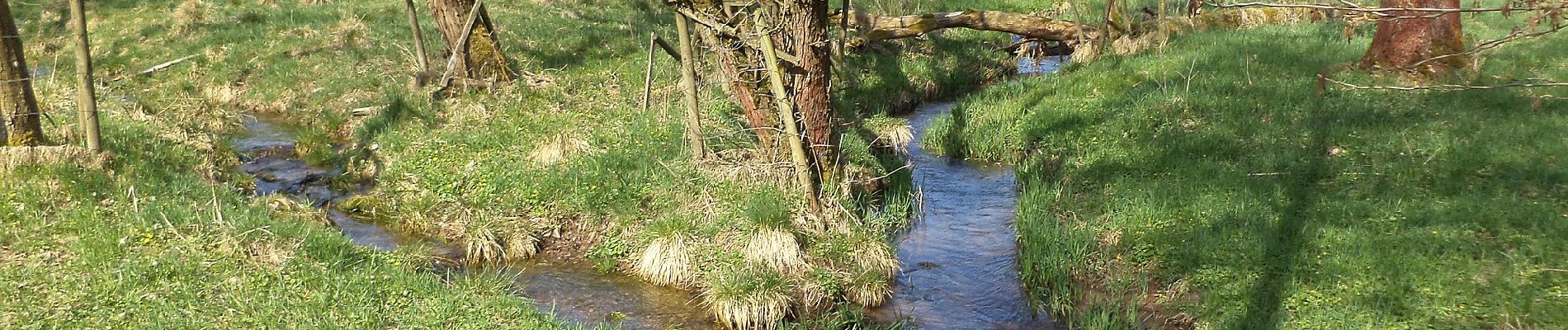
 - Photo 1")
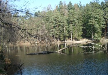
 - Photo 2")
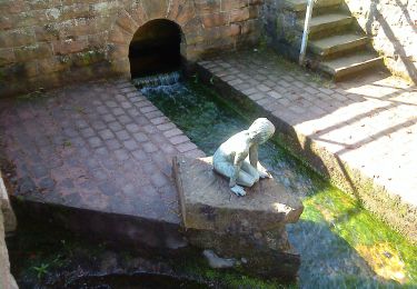
 - Photo 3")
 - Photo 4")
 - Photo 5")
 - Photo 6")
 - Photo 7")
 - Photo 8")
 - Photo 9")
 - Photo 10")
Te voet
Te voet
Te voet
Te voet
Te voet
Te voet
Te voet
Te voet
Te voet