


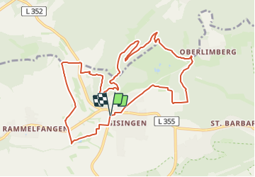

13,5 km | 17,2 km-effort

Tous les sentiers balisés d’Europe GUIDE+


Gratisgps-wandelapplicatie
 SityTrail
IGN / Geografische instituten
SityTrail World
De wereld gaat voor u open
Tocht Te voet van 10,8 km beschikbaar op Saarland, Landkreis Saarlouis, Wallerfangen. Deze tocht wordt voorgesteld door SityTrail - itinéraires balisés pédestres.
Symbol: negativ weißes Symbol auf lila Rechteck mit Text "Traumschleifen Saar-Hunsrück"


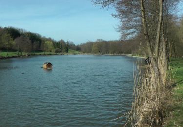
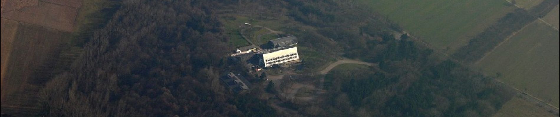
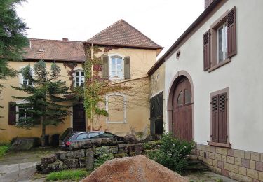
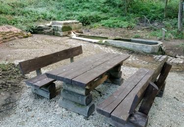
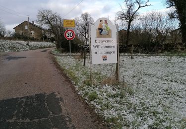
Te voet
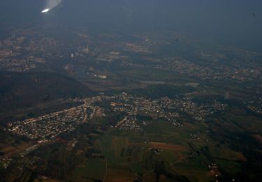
Te voet
Te voet
Te voet
Stappen