


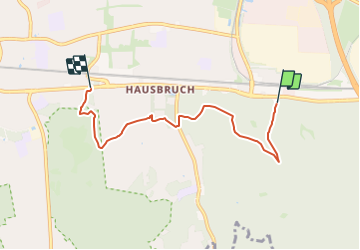

10,3 km | 12,3 km-effort

Tous les sentiers balisés d’Europe GUIDE+


Gratisgps-wandelapplicatie
 SityTrail
IGN / Geografische instituten
SityTrail World
De wereld gaat voor u open
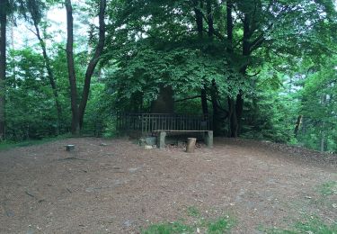
Tocht Te voet van 4,4 km beschikbaar op Hamburg, Onbekend, Onbekend. Deze tocht wordt voorgesteld door SityTrail - itinéraires balisés pédestres.
Ausflugsziele, Freizeit und Übernachten in der Nordheide, dem nördlichen Teil der Lüneburger Heide, verkehrsgünstig in der Nähe von Hamburg
Website: https://regionalpark-rosengarten.de/


Te voet

Te voet

Te voet

Te voet

Te voet

Te voet
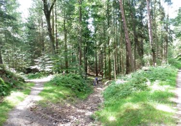
Te voet
Te voet
Te voet