


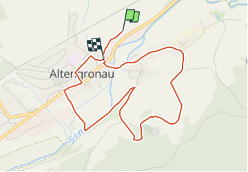

5,4 km | 7,6 km-effort

Tous les sentiers balisés d’Europe GUIDE+


Gratisgps-wandelapplicatie
 SityTrail
IGN / Geografische instituten
SityTrail World
De wereld gaat voor u open
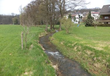
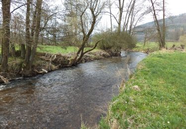
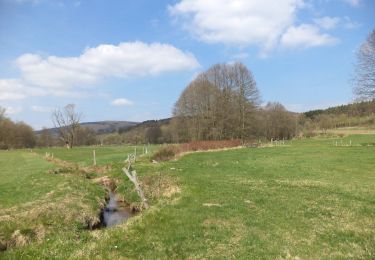
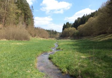
Tocht Te voet van 4,6 km beschikbaar op Hessen, Main-Kinzig-Kreis, Sinntal. Deze tocht wordt voorgesteld door SityTrail - itinéraires balisés pédestres.
Trail created by Archäologisches Spessartprojekt.
Im Lande der Ritter von Hutten
Symbol: Gelbes EU-Schiffchen auf blauem GrundGelbes EU-Schiffchen auf blauem Grund

Te voet
Te voet
Te voet
Te voet
Te voet
Te voet
Te voet
Te voet
Te voet