


11,2 km | 14,2 km-effort

Tous les sentiers balisés d’Europe GUIDE+


Gratisgps-wandelapplicatie
 SityTrail
IGN / Geografische instituten
SityTrail World
De wereld gaat voor u open
Tocht Te voet van 4,2 km beschikbaar op Saksen-Anhalt, Landkreis Harz, Wernigerode. Deze tocht wordt voorgesteld door SityTrail - itinéraires balisés pédestres.
Möglicherweise ist dieser Weg „Harzklub-Weg 30G“ und nicht der mit grünem Quadrat
Symbol: Gelbes Kreuz auf weißem Grund
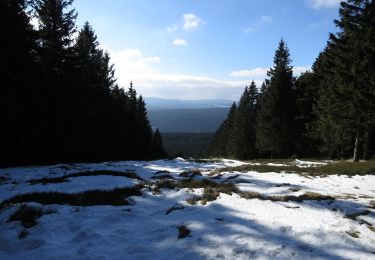
 - Photo 1")
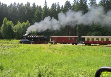
 - Photo 2")
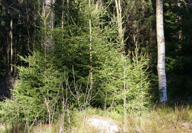
 - Photo 3")
 - Photo 4")
 - Photo 5")
 - Photo 6")
 - Photo 7")
 - Photo 8")
 - Photo 9")
 - Photo 10")
Te voet
Te voet
Te voet
Te voet

Te voet
Te voet

Te voet
Te voet

Te voet