


7,8 km | 11,2 km-effort

Tous les sentiers balisés d’Europe GUIDE+


Gratisgps-wandelapplicatie
 SityTrail
IGN / Geografische instituten
SityTrail World
De wereld gaat voor u open
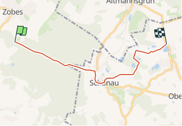
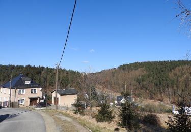
Tocht Te voet van 4,8 km beschikbaar op Saksen, Vogtlandkreis, Neuensalz. Deze tocht wordt voorgesteld door SityTrail - itinéraires balisés pédestres.
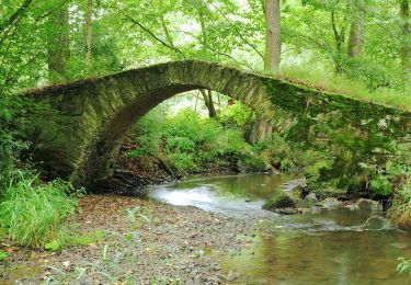
Wanderweg Gelber Balken Raum Zwickau
Symbol: gelber Balken


![Tocht Te voet Kraslice - [Ž] Pod Počáteckým vrchem - Kraslice - Photo](https://media.geolcdn.com/t/375/260/7b002a07-1178-41e8-bf4e-6c36d8a4fd5f.jpeg&format=jpg&maxdim=2)
Te voet
![Tocht Te voet Kraslice - [Z] Hraničná (CZ/D) - Kraslice - Photo](https://media.geolcdn.com/t/375/260/9a2c3207-a793-4795-9d2f-4ccb6b0dd654.jpeg&format=jpg&maxdim=2)
Te voet
Te voet
Te voet
Te voet
Te voet
Te voet
Te voet
Te voet