


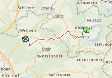

6,5 km | 9,5 km-effort

Tous les sentiers balisés d’Europe GUIDE+


Gratisgps-wandelapplicatie
 SityTrail
IGN / Geografische instituten
SityTrail World
De wereld gaat voor u open
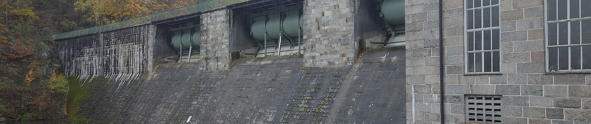
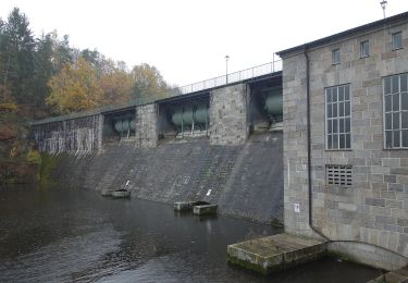
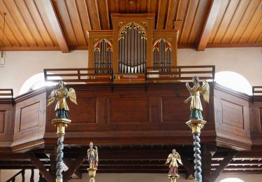
Tocht Te voet van 5,3 km beschikbaar op Beieren, Landkreis Schwandorf, Trausnitz. Deze tocht wordt voorgesteld door SityTrail - itinéraires balisés pédestres.
Trail created by Oberpfälzer Wald-Verein.
Symbol: rotes querliegendes Dreieck auf weißem Grund
Website: https://www.owv-pfreimd.de/wanderwege.php


Te voet
Te voet
Te voet
Te voet
Te voet

Te voet