


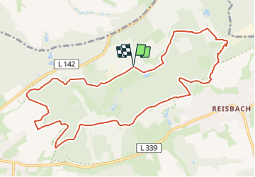

7,5 km | 11,6 km-effort

Tous les sentiers balisés d’Europe GUIDE+


Gratisgps-wandelapplicatie
 SityTrail
IGN / Geografische instituten
SityTrail World
De wereld gaat voor u open
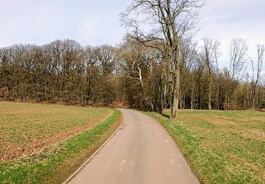
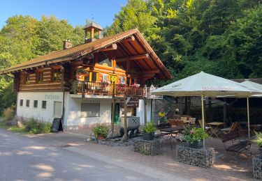
Tocht Te voet van 11,3 km beschikbaar op Saarland, Landkreis Saarlouis, Saarwellingen. Deze tocht wordt voorgesteld door SityTrail - itinéraires balisés pédestres.
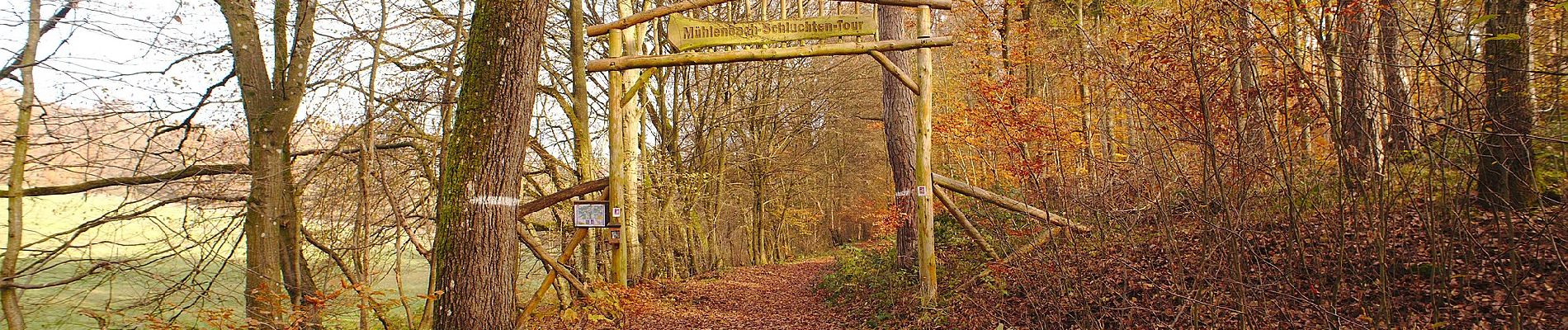
Symbol: vierfarbig gedruckte Plakette: oben/unten gelb mit Schriftzug "Mühlenbach-Schluchten-Tour", in der Mitte sitilisierter blauer Bach und Taleinschnitt auf grünem Grund


Te voet
Te voet
Te voet

Te voet
Stappen
Te voet