


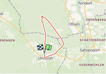

12,1 km | 14,2 km-effort


Tous les sentiers balisés d’Europe GUIDE+


Gratisgps-wandelapplicatie
 SityTrail
IGN / Geografische instituten
SityTrail World
De wereld gaat voor u open
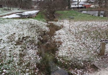
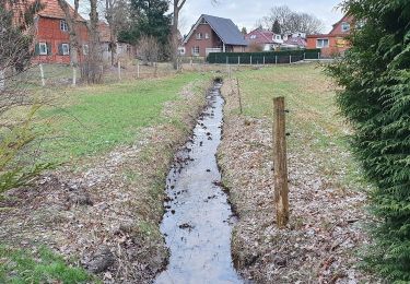
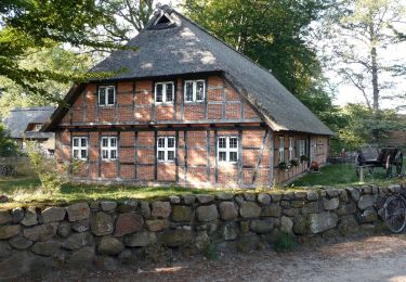
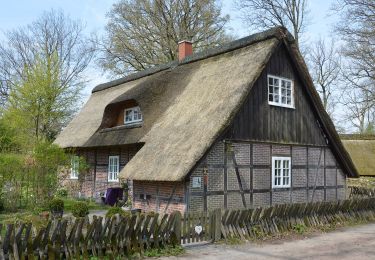
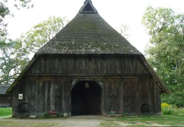
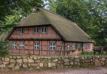
Tocht Te voet van 8 km beschikbaar op Nedersaksen, Harburg, Undeloh. Deze tocht wordt voorgesteld door SityTrail - itinéraires balisés pédestres.
Trail created by Verein Naturparkregion Lüneburger Heide e.V..
Website: https://naturpark-lueneburger-heide.de/


Te voet
Te voet
Te voet
Te voet
Te voet

Te voet

Te voet
Te voet
Te voet