


14,2 km | 21 km-effort

Tous les sentiers balisés d’Europe GUIDE+


Gratisgps-wandelapplicatie
 SityTrail
IGN / Geografische instituten
SityTrail World
De wereld gaat voor u open
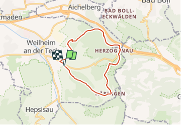
Tocht Te voet van 11,6 km beschikbaar op Baden-Württemberg, Landkreis Esslingen, Weilheim an der Teck. Deze tocht wordt voorgesteld door SityTrail - itinéraires balisés pédestres.
Trail created by Stadt Weilheim an der Teck.
Symbol: quadratische blaue Fläche mit inneren weißen Kreis in dem wiederum die blaue Zahl 14 steht


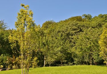
Te voet
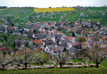
Te voet
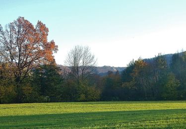
Te voet
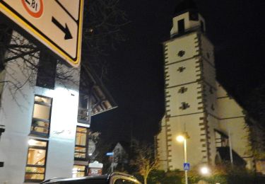
Te voet

Te voet
Te voet
Te voet

Te voet
Te voet