


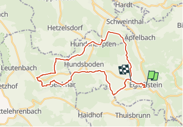

6,4 km | 10,9 km-effort

Tous les sentiers balisés d’Europe GUIDE+


Gratisgps-wandelapplicatie
 SityTrail
IGN / Geografische instituten
SityTrail World
De wereld gaat voor u open
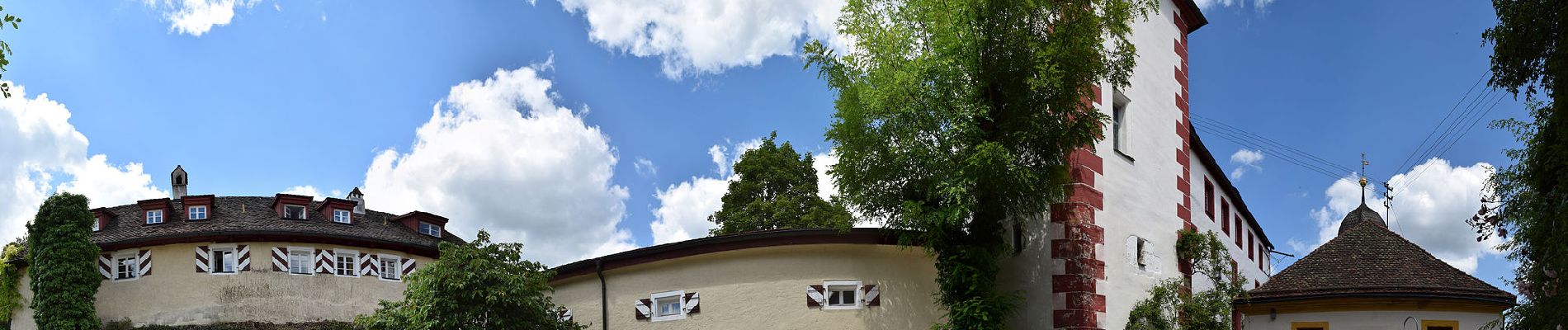
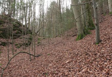
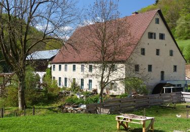
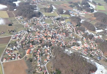
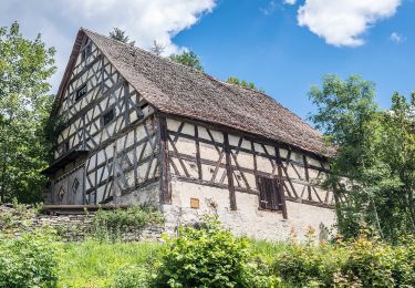
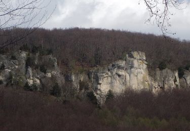
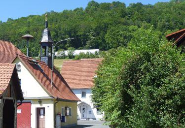
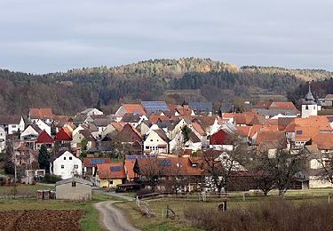
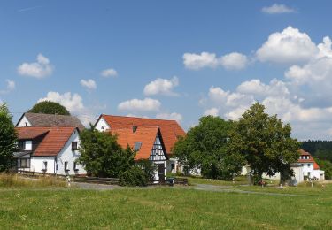
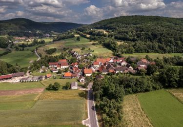
Tocht Te voet van 16,3 km beschikbaar op Beieren, Landkreis Forchheim, Egloffstein. Deze tocht wordt voorgesteld door SityTrail - itinéraires balisés pédestres.
Trail created by nicht bekannt.
geprüft (März 2014, by cycling_zno)
Symbol: Grüner Schrägstrich auf weißem Grund


Te voet
Te voet
Te voet
Te voet
Te voet
Te voet
Te voet
Te voet
Te voet