


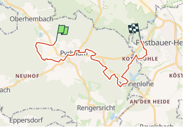

13,2 km | 15,7 km-effort


Tous les sentiers balisés d’Europe GUIDE+


Gratisgps-wandelapplicatie
 SityTrail
IGN / Geografische instituten
SityTrail World
De wereld gaat voor u open
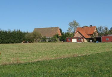
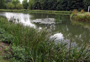
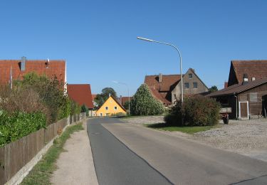
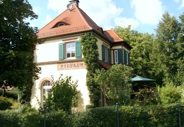
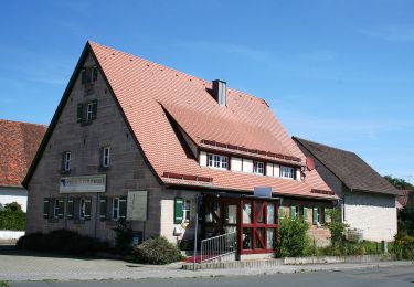
Tocht Te voet van 12,5 km beschikbaar op Beieren, Landkreis Neumarkt in der Oberpfalz, Pyrbaum. Deze tocht wordt voorgesteld door SityTrail - itinéraires balisés pédestres.
Trail created by Gemeinde Pyrbaum.
geprüft (März 2015, by cycling_zno)
Symbol: Weiße 4 auf rotem Grund


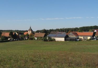
Te voet
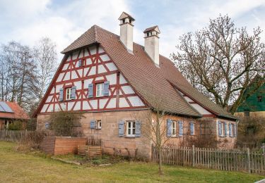
Te voet
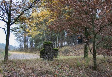
Te voet
Te voet
Te voet
Te voet
Te voet
Te voet
Te voet