


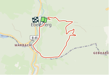

7,6 km | 10,4 km-effort

Tous les sentiers balisés d’Europe GUIDE+


Gratisgps-wandelapplicatie
 SityTrail
IGN / Geografische instituten
SityTrail World
De wereld gaat voor u open
Tocht Te voet van 6,7 km beschikbaar op Hessen, Odenwaldkreis, Erbach. Deze tocht wordt voorgesteld door SityTrail - itinéraires balisés pédestres.
Trail created by Geo-Naturpark Bergstraße-Odenwald.
Symbol: Weiße 9 in einem oben offenen Kreis, darüber weißes E


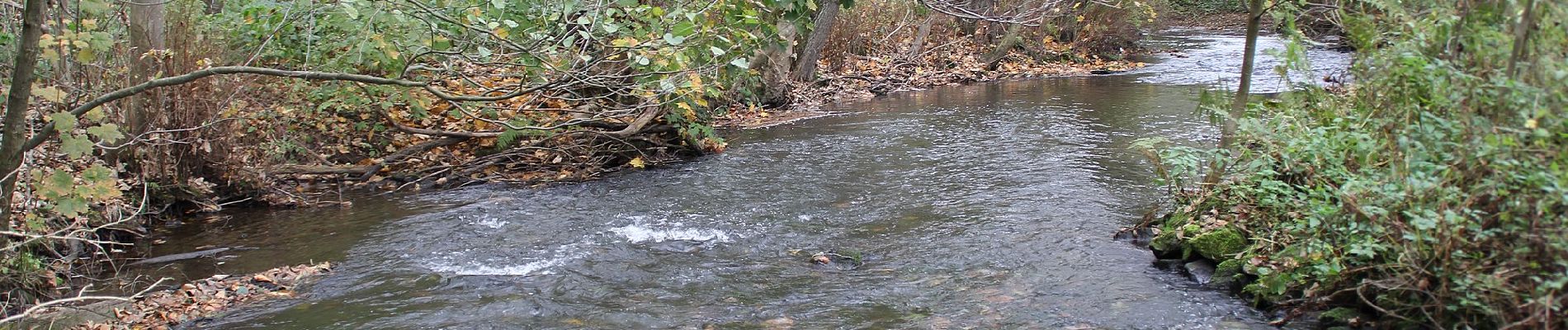
Te voet

Te voet
Te voet
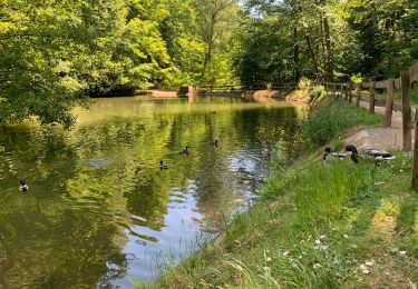
Te voet
Te voet
Te voet

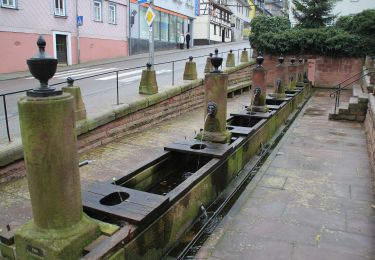
Te voet

Te voet

Te voet