


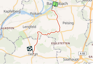

6,3 km | 6,8 km-effort

Tous les sentiers balisés d’Europe GUIDE+


Gratisgps-wandelapplicatie
 SityTrail
IGN / Geografische instituten
SityTrail World
De wereld gaat voor u open
Tocht Te voet van 7,7 km beschikbaar op Beieren, Landkreis Kelheim, Bad Abbach. Deze tocht wordt voorgesteld door SityTrail - itinéraires balisés pédestres.
Trail created by Waldverein Regensburg.
FIXME: nicht alle Wegabschnitte erfaßt.
Symbol: Grünes Rechteck auf weißem Grund
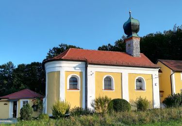
 - Photo 1")
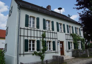
 - Photo 2")
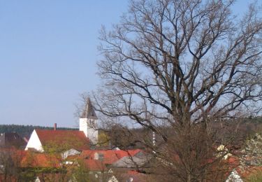
 - Photo 3")
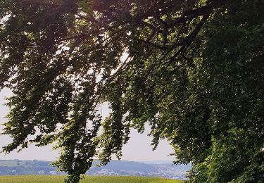
 - Photo 4")
 - Photo 5")
 - Photo 6")
 - Photo 7")
 - Photo 8")
 - Photo 9")
 - Photo 10")
Te voet
Te voet
Te voet
Te voet
![Tocht Te voet Pentling - S 20 Hohengebraching - Unterirading [Walba] (Blaues Rechteck) - Photo](https://media.geolcdn.com/t/375/260/81f267c5-b53b-4c4e-b86a-f20025f30912.jpeg&format=jpg&maxdim=2)
Te voet
Te voet
Te voet

Te voet