


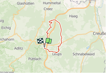

8,3 km | 10,3 km-effort

Tous les sentiers balisés d’Europe GUIDE+


Gratisgps-wandelapplicatie
 SityTrail
IGN / Geografische instituten
SityTrail World
De wereld gaat voor u open
Tocht Te voet van 17,3 km beschikbaar op Beieren, Landkreis Bayreuth, Pegnitz. Deze tocht wordt voorgesteld door SityTrail - itinéraires balisés pédestres.
Trail created by Stadt Pegnitz.
abgeschlossen (April 2013 by cycling_zno)
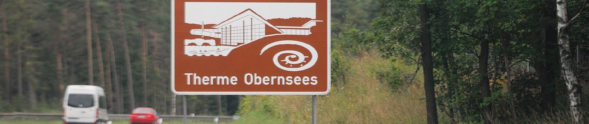
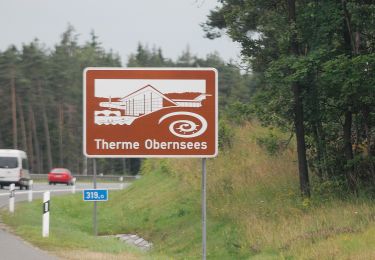
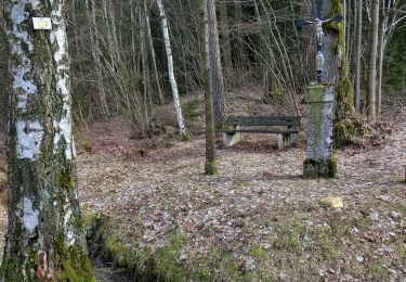
Symbol: weiße 1 auf grünem Grund


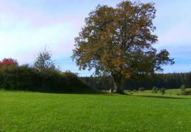
Te voet
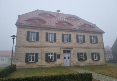
Te voet
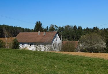
Te voet
Te voet
Te voet
Te voet
Te voet
Te voet
Te voet