


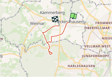

4,8 km | 5,6 km-effort


Tous les sentiers balisés d’Europe GUIDE+


Gratisgps-wandelapplicatie
 SityTrail
IGN / Geografische instituten
SityTrail World
De wereld gaat voor u open
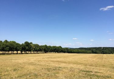
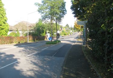
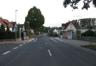
Tocht Te voet van 7,5 km beschikbaar op Hessen, Landkreis Kassel, Ahnatal. Deze tocht wordt voorgesteld door SityTrail - itinéraires balisés pédestres.
Erlenloch
Website: http://www.ahnatal.de/index.php?id=76


Te voet
Te voet

Te voet
Te voet
Te voet
Te voet
Te voet
Te voet
Te voet