


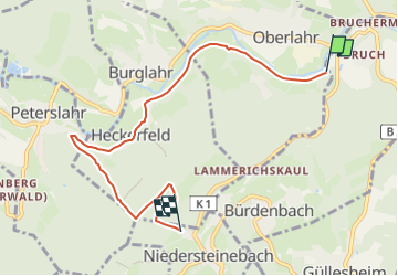

21 km | 27 km-effort

Tous les sentiers balisés d’Europe GUIDE+


Gratisgps-wandelapplicatie
 SityTrail
IGN / Geografische instituten
SityTrail World
De wereld gaat voor u open
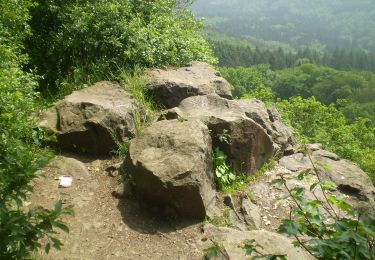
Tocht Te voet van 6,2 km beschikbaar op Rijnland-Palts, Landkreis Altenkirchen, Oberlahr. Deze tocht wordt voorgesteld door SityTrail - itinéraires balisés pédestres.
Trail created by Förderverein Bergbau- und Hüttentradition VG Flammersfeld.
Symbol: Rotes "Schlägel und Eisen"


![Tocht Te voet Puderbach - [B3] Burgweg 3 - Photo](https://media.geolcdn.com/t/375/260/bd3a678d-fa90-49ee-85ba-df82f5331819.jpeg&format=jpg&maxdim=2)
Te voet
Te voet
Te voet
Te voet
Te voet
Te voet
Te voet
Te voet
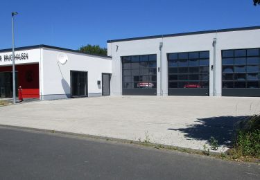
![Tocht Te voet Windhagen - [W2] Windhagener Weg - Photo](https://media.geolcdn.com/t/375/260/adef9696-6d08-4cbb-94cd-bba75114ff6a.jpeg&format=jpg&maxdim=2)
Te voet