


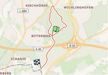

6,7 km | 9,1 km-effort

Tous les sentiers balisés d’Europe GUIDE+


Gratisgps-wandelapplicatie
 SityTrail
IGN / Geografische instituten
SityTrail World
De wereld gaat voor u open
Tocht Te voet van 4,7 km beschikbaar op Noordrijn-Westfalen, Dortmund, Onbekend. Deze tocht wordt voorgesteld door SityTrail - itinéraires balisés pédestres.
Trail created by Sauerländischer Gebirgsverein Bezirk Dortmund Ardey.
Symbol: weißes A1 auf schwarzem Grund


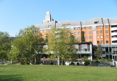
![Tocht Te voet Herdecke - [H3] Hengsteysee und Teufelskanzel - Photo](https://media.geolcdn.com/t/375/260/48a0ef8e-3704-4b57-a4cf-02a57ebc2595.jpeg&format=jpg&maxdim=2)
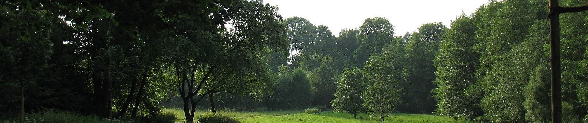
Te voet

Te voet
Te voet
Te voet
Te voet
Te voet
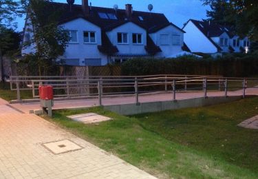
![Tocht Te voet Onbekend - [S1] Um den Syberg - Photo](https://media.geolcdn.com/t/375/260/3858086d-bf9c-479b-9500-35a9a92851a8.jpeg&format=jpg&maxdim=2)
Te voet
Te voet
Te voet