


6,9 km | 8,6 km-effort

Tous les sentiers balisés d’Europe GUIDE+


Gratisgps-wandelapplicatie
 SityTrail
IGN / Geografische instituten
SityTrail World
De wereld gaat voor u open
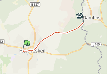
Tocht Te voet van 3,1 km beschikbaar op Rijnland-Palts, Landkreis Trier-Saarburg, Hermeskeil. Deze tocht wordt voorgesteld door SityTrail - itinéraires balisés pédestres.
Trail created by Naturpark Saar-Hunsrück.
Weg von Hk7 in Hk3 umbenannt, da Hk7 seit 2013 nicht mehr existiert und Hk3 ähnliche Streckenführung hat.


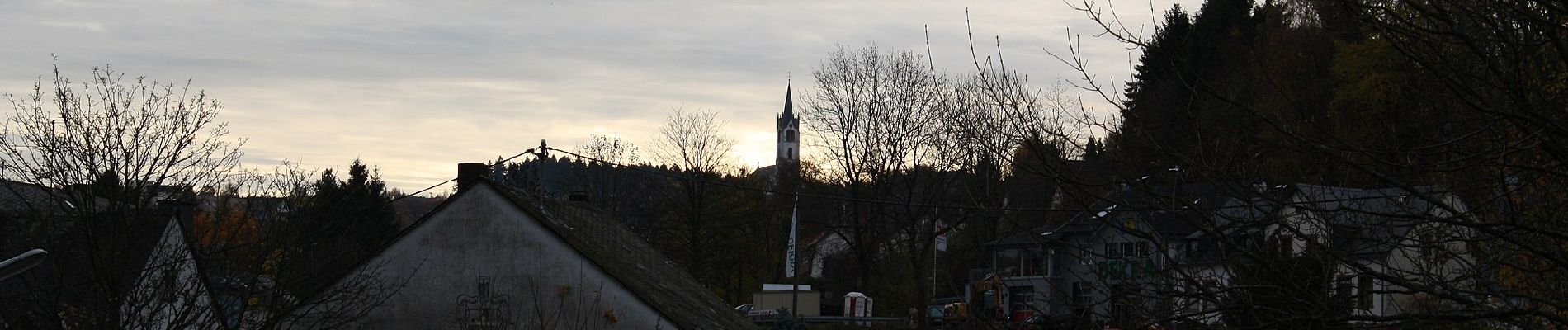
Te voet
Te voet
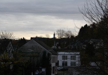
Te voet

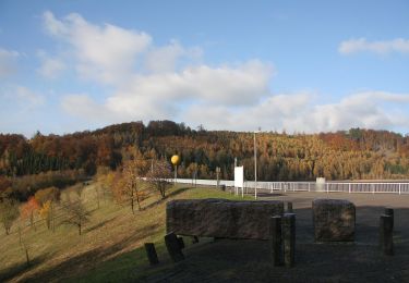
Te voet
Te voet