


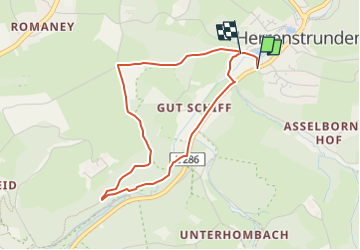

6,8 km | 9,4 km-effort

Tous les sentiers balisés d’Europe GUIDE+


Gratisgps-wandelapplicatie
 SityTrail
IGN / Geografische instituten
SityTrail World
De wereld gaat voor u open
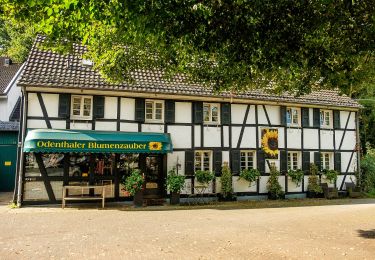
Tocht Te voet van 3,4 km beschikbaar op Noordrijn-Westfalen, Rheinisch-Bergischer Kreis, Bergisch Gladbach. Deze tocht wordt voorgesteld door SityTrail - itinéraires balisés pédestres.
Symbol: A1


Te voet
Te voet
Te voet
Te voet
Te voet
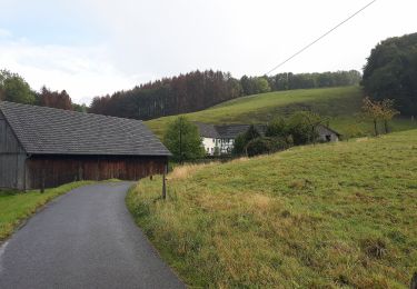
![Tocht Te voet Bergisch Gladbach - [U] Rundweg Asselborn - Schiff - Hombach - Photo](https://media.geolcdn.com/t/375/260/538de2de-e757-46d2-b801-d02da58106d2.jpeg&format=jpg&maxdim=2)
Te voet
Te voet

Te voet
Te voet