


8,1 km | 9,8 km-effort

Tous les sentiers balisés d’Europe GUIDE+


Gratisgps-wandelapplicatie
 SityTrail
IGN / Geografische instituten
SityTrail World
De wereld gaat voor u open
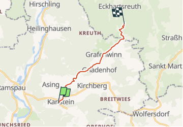
Tocht Te voet van 6,3 km beschikbaar op Beieren, Landkreis Regensburg, Regenstauf. Deze tocht wordt voorgesteld door SityTrail - itinéraires balisés pédestres.
Trail created by Waldverein Regensburg.
FIXME: Nicht alle Segmente erfaßt.
Symbol: Grünes Dreieck auf weißem Grund (in der Natur in Richtung Karlstein weisend)
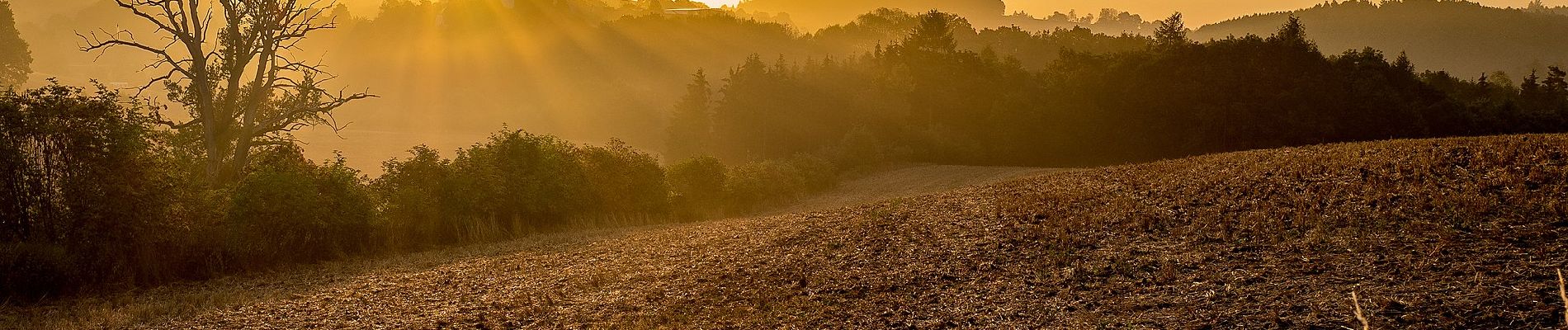
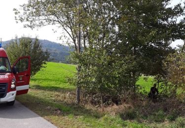
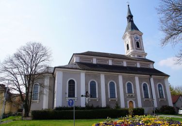
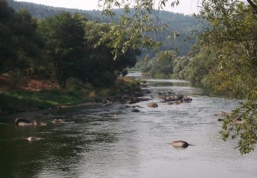
 - Photo 1")
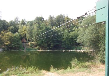
 - Photo 2")
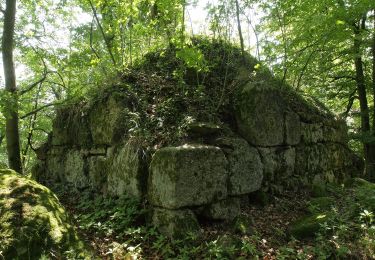
 - Photo 3")
 - Photo 4")
Te voet

Te voet

Te voet
Te voet
Te voet
Te voet
Te voet

Te voet
Te voet