


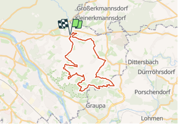

7,3 km | 9,2 km-effort

Tous les sentiers balisés d’Europe GUIDE+


Gratisgps-wandelapplicatie
 SityTrail
IGN / Geografische instituten
SityTrail World
De wereld gaat voor u open
Tocht Te voet van 28 km beschikbaar op Saksen, Dresden, Onbekend. Deze tocht wordt voorgesteld door SityTrail - itinéraires balisés pédestres.
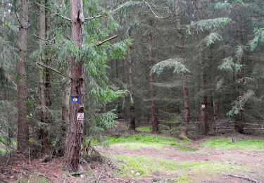
Auf das OSMC-Symbol für die Garminkarte passen nur 2 Buchstaben. Weg ist hauptsächlich mit Grünem Punkt markiert, teilweise gibt es auch grüne Schilder mit gelber Schrift "SWB", sowie einige Kontrollpunkte mit Stempel.
Symbol: Grüner Punkt auf weißem Grund und Gelbe Schrift SWB auf grünem Grund


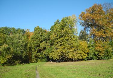
Te voet
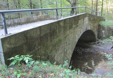
Te voet
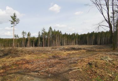
Te voet

Te voet
Te voet
Te voet
Te voet
Te voet
Te voet