


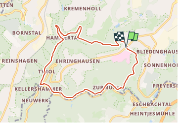

7,3 km | 8,8 km-effort

Tous les sentiers balisés d’Europe GUIDE+


Gratisgps-wandelapplicatie
 SityTrail
IGN / Geografische instituten
SityTrail World
De wereld gaat voor u open
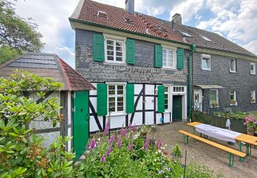
Tocht Te voet van 8,2 km beschikbaar op Noordrijn-Westfalen, Remscheid, Onbekend. Deze tocht wordt voorgesteld door SityTrail - itinéraires balisés pédestres.
Trail created by Sauerländischer Gebirgsverein Bergisches Land.
Symbol: Weißes A4 auf schwarzem Grund


Te voet

Te voet
Te voet

Te voet
Te voet
Te voet
Te voet
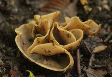
![Tocht Te voet Wermelskirchen - [Volldreieck] Eifgen - Dhünn - Photo](https://media.geolcdn.com/t/375/260/dd563847-bd51-41a0-a586-fb107f8dd368.jpeg&format=jpg&maxdim=2)
Te voet

Te voet