


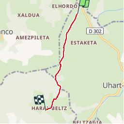

6,1 km | 8,9 km-effort


Gebruiker


Gratisgps-wandelapplicatie
 SityTrail
IGN / Geografische instituten
SityTrail World
De wereld gaat voor u open
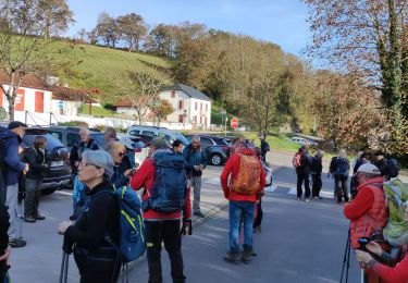
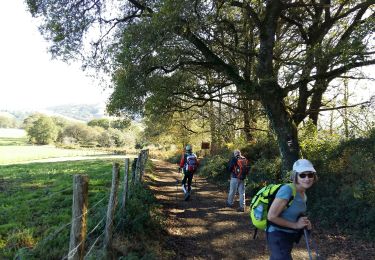
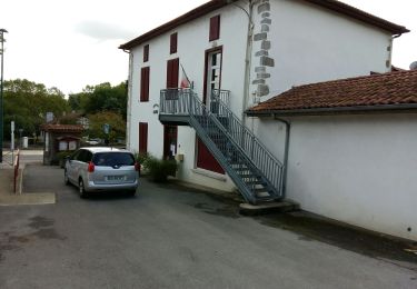
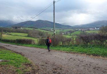
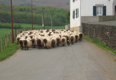
Tocht Stappen van 3,4 km beschikbaar op Nieuw-Aquitanië, Pyrénées-Atlantiques, Uhart-Mixe. Deze tocht wordt voorgesteld door coco03.
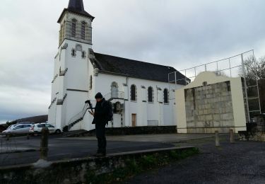
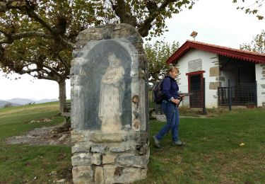
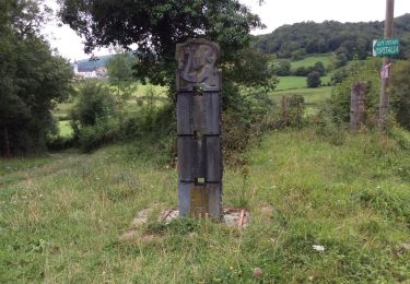
Sur le chemin de St Jacques de Compostelle, la Chapelle Soyarce et sa table d'orientation et enfin la Chapelle d'Harambels (l'intérieur est tout en bois)
7Km AR.

Stappen
Stappen
Stappen
Stappen
Stappen
Stappen
Stappen
Stappen
Stappen