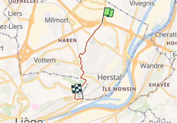


14,3 km | 19,8 km-effort


Tous les sentiers balisés d’Europe GUIDE+


Gratisgps-wandelapplicatie
 SityTrail
IGN / Geografische instituten
SityTrail World
De wereld gaat voor u open
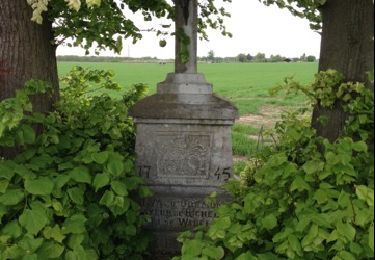
Tocht Te voet van 5,6 km beschikbaar op Wallonië, Luik, Herstal. Deze tocht wordt voorgesteld door SityTrail - itinéraires balisés pédestres.
Trail created by La ville Herstal.
Website: https://www.herstal.be/loisirs/tourisme/promenades/voie-des-botis/a4-botis.pdf


Stappen

Stappen

Stappen

Stappen
Stappen
Stappen

Stappen

Elektrische fiets