


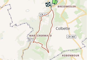

6,2 km | 7,8 km-effort

Tous les sentiers balisés d’Europe GUIDE+


Gratisgps-wandelapplicatie
 SityTrail
IGN / Geografische instituten
SityTrail World
De wereld gaat voor u open
Tocht Te voet van 5,8 km beschikbaar op Onbekend, Canton Echternach, Consdorf. Deze tocht wordt voorgesteld door SityTrail - itinéraires balisés pédestres.
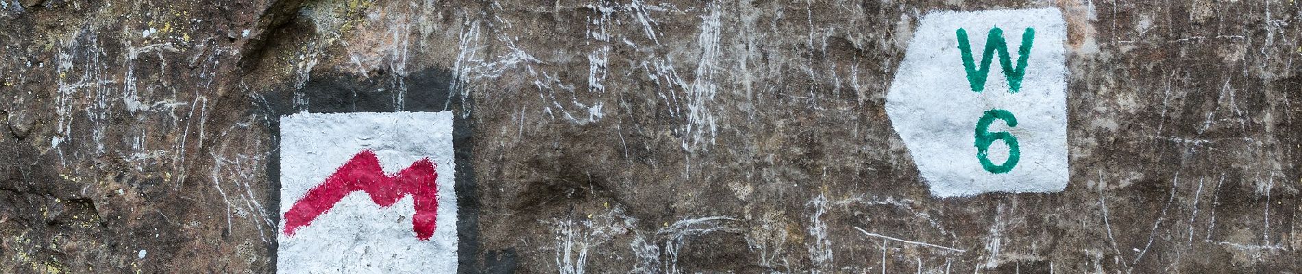
Symbol: Grünes W7 auf weißem Grund


Stappen

Stappen

Stappen

Stappen

Stappen

Stappen

Stappen

Stappen

Andere activiteiten