

16. Woizin
SityTrail - itinéraires balisés pédestres
Tous les sentiers balisés d’Europe GUIDE+

Lengte
9,4 km

Max. hoogte
344 m

Positief hoogteverschil
157 m

Km-Effort
11,5 km

Min. hoogte
254 m

Negatief hoogteverschil
153 m
Boucle
Ja
Markering
Datum van aanmaak :
2022-02-09 18:53:19.902
Laatste wijziging :
2022-02-09 18:53:19.902
2h36
Moeilijkheid : Gemakkelijk

Gratisgps-wandelapplicatie
Over ons
Tocht Te voet van 9,4 km beschikbaar op Wallonië, Luxemburg, Hotton. Deze tocht wordt voorgesteld door SityTrail - itinéraires balisés pédestres.
Beschrijving
Trail created by Royal Syndicat d'Initiative de Hotton.
Plaatsbepaling
Land:
Belgium
Regio :
Wallonië
Departement/Provincie :
Luxemburg
Gemeente :
Hotton
Locatie:
Unknown
Vertrek:(Dec)
Vertrek:(UTM)
672225 ; 5568293 (31U) N.
Opmerkingen
Wandeltochten in de omgeving
RB-LUX-04 - En Famenne


Stappen
Medium
(13)
Hotton,
Wallonië,
Luxemburg,
Belgium

18,4 km | 24 km-effort
5h 6min
Ja
RF-Lu-03 Sur la Calestienne, entre Ardenne et Famenne : Hotton


Stappen
Heel gemakkelijk
(3)
Hotton,
Wallonië,
Luxemburg,
Belgium

11,7 km | 15,3 km-effort
3h 16min
Ja
Champlon - Boucle qui alterne sous-bois et vues dégagées à 360°. Larges senti...


Stappen
Gemakkelijk
(1)
Marche-en-Famenne,
Wallonië,
Luxemburg,
Belgium

9,6 km | 12,8 km-effort
2h 23min
Ja

Saint-Pierre


Stappen
Gemakkelijk
(3)
Hotton,
Wallonië,
Luxemburg,
Belgium

10,9 km | 12,1 km-effort
2h 43min
Ja
Grimbiémont-Lignières- boucle


Stappen
Gemakkelijk
(3)
Marche-en-Famenne,
Wallonië,
Luxemburg,
Belgium

8,6 km | 11,6 km-effort
1h 59min
Ja
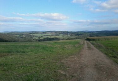
De werpin a werpin via Trinal


Stappen
Gemakkelijk
(1)
Hotton,
Wallonië,
Luxemburg,
Belgium

9,3 km | 12,4 km-effort
2h 38min
Ja
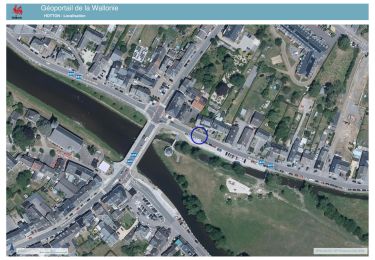
20241015 - TOTEMUS HOTTON - 5.4 Km


Stappen
Medium
Hotton,
Wallonië,
Luxemburg,
Belgium

5,4 km | 6,8 km-effort
2h 19min
Ja

2024-07-29_09h57m47_gpxfile


sport
Heel gemakkelijk
(1)
Hotton,
Wallonië,
Luxemburg,
Belgium

9,3 km | 13 km-effort
Onbekend
Ja


 SityTrail


