


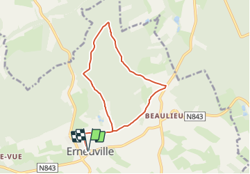


10,4 km | 13,5 km-effort


Tous les sentiers balisés d’Europe GUIDE+


Gratisgps-wandelapplicatie
 SityTrail
IGN / Geografische instituten
SityTrail World
De wereld gaat voor u open
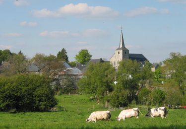
Tocht Te voet van 6,9 km beschikbaar op Wallonië, Luxemburg, Tenneville. Deze tocht wordt voorgesteld door SityTrail - itinéraires balisés pédestres.
Trail created by SI Tenneville.


Stappen
Stappen
Stappen
Stappen
Stappen
Te voet
Te voet
Te voet
Te voet