


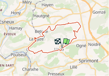

22 km | 30 km-effort


Tous les sentiers balisés d’Europe GUIDE+


Gratisgps-wandelapplicatie
 SityTrail
IGN / Geografische instituten
SityTrail World
De wereld gaat voor u open
Tocht Te voet van 13,1 km beschikbaar op Wallonië, Luik, Sprimont. Deze tocht wordt voorgesteld door SityTrail - itinéraires balisés pédestres.
Trail created by Office du Tourisme de Sprimont-Banneux.


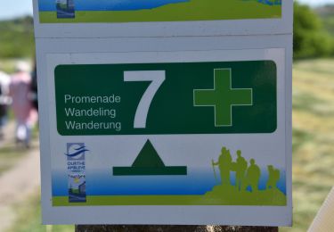
Stappen

Stappen

Stappen

Stappen
Stappen

Stappen

Stappen

Stappen
Stappen