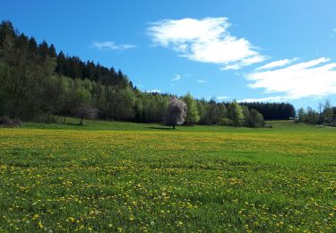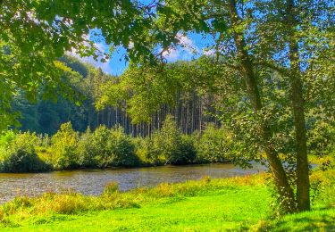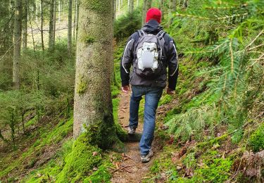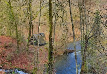

50 Promenade de Dohan (Les Hayons, Bouillon)
SityTrail - itinéraires balisés pédestres
Tous les sentiers balisés d’Europe GUIDE+

Lengte
8,4 km

Max. hoogte
384 m

Positief hoogteverschil
234 m

Km-Effort
11,6 km

Min. hoogte
231 m

Negatief hoogteverschil
233 m
Boucle
Ja
Markering
Datum van aanmaak :
2022-02-09 15:11:22.848
Laatste wijziging :
2022-02-09 17:56:08.696
2h37
Moeilijkheid : Gemakkelijk

Gratisgps-wandelapplicatie
Over ons
Tocht Te voet van 8,4 km beschikbaar op Wallonië, Luxemburg, Bouillon. Deze tocht wordt voorgesteld door SityTrail - itinéraires balisés pédestres.
Beschrijving
Trail created by SI de la Moyenne Semois.
Plaatsbepaling
Land:
Belgium
Regio :
Wallonië
Departement/Provincie :
Luxemburg
Gemeente :
Bouillon
Locatie:
Unknown
Vertrek:(Dec)
Vertrek:(UTM)
654225 ; 5518171 (31U) N.
Opmerkingen
Wandeltochten in de omgeving

BX08


Andere activiteiten
Heel gemakkelijk
(9)
Bertrix,
Wallonië,
Luxemburg,
Belgium

7,3 km | 10 km-effort
2h 30min
Ja

GR16 SEMOIS 1 : Dohan


Stappen
Gemakkelijk
(1)
Bouillon,
Wallonië,
Luxemburg,
Belgium

6,7 km | 8,3 km-effort
1h 19min
Ja

BX18


Andere activiteiten
Medium
(3)
Bertrix,
Wallonië,
Luxemburg,
Belgium

7,2 km | 10 km-effort
2h 20min
Ja

2024-09-15_08h33m03_Les Hayons Bouillon


Stappen
Moeilijk
Bouillon,
Wallonië,
Luxemburg,
Belgium

10,1 km | 13,6 km-effort
3h 5min
Ja

Promenade de la Roche percée 47


Te voet
Gemakkelijk
(1)
Bouillon,
Wallonië,
Luxemburg,
Belgium

6,3 km | 8,7 km-effort
1h 58min
Ja

Promenade de Viaumont - Rivage de Marion 40


Te voet
Gemakkelijk
(1)
Bouillon,
Wallonië,
Luxemburg,
Belgium

5,5 km | 7,7 km-effort
1h 44min
Ja

Promenade du Rocher Lecomte 42


Te voet
Gemakkelijk
(1)
Bouillon,
Wallonië,
Luxemburg,
Belgium

4,8 km | 7 km-effort
1h 35min
Ja

Promenade de la Dampirée et de la Saurpire 43


Te voet
Gemakkelijk
Bouillon,
Wallonië,
Luxemburg,
Belgium

8,3 km | 11,3 km-effort
2h 34min
Ja

AU FIL DE L'EAU DES ALEINES ALISNA asbl


Te voet
Gemakkelijk
(1)
Bouillon,
Wallonië,
Luxemburg,
Belgium

7,3 km | 10,1 km-effort
2h 17min
Ja


 SityTrail


