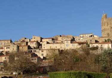
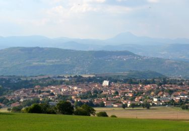
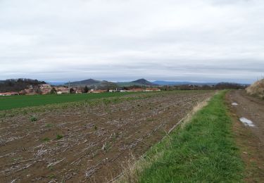
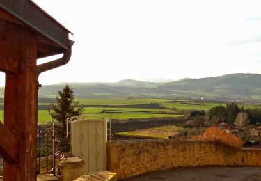
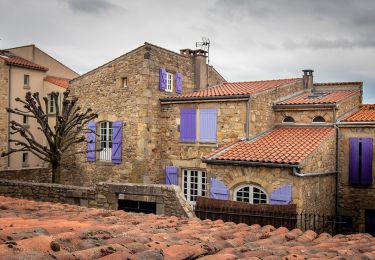
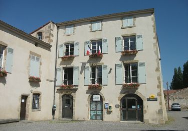
Tocht Te voet Saint-Maurice - Le Vallon des Bouys - Photo
 jeanic63
jeanic63

Gebruiker

© OpenStreetMap contributors
Lengte
Lengte
11,5 km
Max. hoogte
Max. hoogte
563 m
Positief hoogteverschil
330 m
Km-Effort
Km-Effort  
15,9 km
Min. hoogte
Min. hoogte
330 m
Negatief hoogteverschil
330 m
Boucle
Boucle
Ja
Datum van aanmaak :
2022-02-08 13:46:19.288
Laatste wijziging :
2022-02-08 13:57:00.126

(0 Bericht)

Te voet
Te voet
3h36
Moeilijkheid : Gemakkelijk

Scan deze QR-code om de tocht te openen in de SityTrail-applicatie

Gratisgps-wandelapplicatie

Logo SityTrail SityTrail

IGN / Geografische instituten

SityTrail uit de App Store downloaden SityTrail uit Google Play downloaden

Logo SityTrail SityTrail World

De wereld gaat voor u open

SityTrail uit de App Store downloaden SityTrail uit Google Play downloaden SityTrail op Huawei AppGallery downloaden

Over ons

Tocht Te voet van 11,5 km beschikbaar op Auvergne-Rhône-Alpes, Puy-de-Dôme, Saint-Maurice. Deze tocht wordt voorgesteld door jeanic63.

Beschrijving

départ parking le Daillard sur la D1 entre Mirefleurs et Sainte Marguerite

Hoogteprofiel

POI's

POI Saint-Maurice - Parking des Sources Sainte-Marguerite - Photo
jeanic63
POI Saint-Maurice - Chemin à gauche - Photo
jeanic63
SAINT-MAURICE 
POI Saint-Maurice - Rue en face - Photo
jeanic63
SAINT-MAURICE 
POI Saint-Maurice - croix cote de courieux - Photo
jeanic63
SAINT-MAURICE 
POI Saint-Maurice - che d l chevaleyre - Photo
jeanic63
SAINT-MAURICE 
POI Saint-Maurice - À gauche puis escalier - Photo
jeanic63
POI Saint-Maurice - petite rue de ´ecole - Photo
jeanic63
SAINT-MAURICE 
POI Saint-Maurice - place du tiari - Photo
jeanic63
SAINT-MAURICE 
POI Saint-Maurice - place dema halle - Photo
jeanic63
SAINT-MAURICE 
POI Saint-Maurice - Rue à droite - Photo
jeanic63
SAINT-MAURICE 
POI Saint-Maurice - Tout droit Au carreferour de Chancerat - Photo
jeanic63
POI Mirefleurs - stop - Photo
jeanic63
MIREFLEURS 
POI Mirefleurs - Rue à gauche - Photo
jeanic63
MIREFLEURS 
POI Mirefleurs - lavoir - Photo
jeanic63
MIREFLEURS 
POI Mirefleurs - font - Photo
jeanic63
MIREFLEURS 
POI Mirefleurs - Tout droit sur la route - Photo
jeanic63
POI Mirefleurs - Traversée de la D1 - Photo
jeanic63
POI Mirefleurs - Chemin à gauche - Photo
jeanic63
MIREFLEURS 
POI Saint-Maurice - Site des sources - Photo
jeanic63
SAINT-MAURICE 
POI Saint-Maurice - Parking des Sources Sainte-Marguerite - Photo
jeanic63

Plaatsbepaling

Land:
France
Regio :
Auvergne-Rhône-Alpes
Departement/Provincie :
Puy-de-Dôme
Gemeente :
Saint-Maurice
Locatie:
Unknown
Vertrek:(Dec)
Vertrek:(UTM)
517396 ; 5056983 (31T) N.

Wandeltochten in de omgeving

Tocht Stappen Montpeyroux - Montpeyroux_Arkose - Photo
Stappen
GUIDE
jagarnier

Stappen

Gemakkelijk
(1)
Montpeyroux, Auvergne-Rhône-Alpes, Puy-de-Dôme, France
8,6 km | 11,2 km-effort
2h 30min
Ja
Tocht Stappen Vic-le-Comte - Vic_le_Comte_Bassin_2 - Photo
Stappen
GUIDE
jagarnier

Stappen

Medium
(1)
Vic-le-Comte, Auvergne-Rhône-Alpes, Puy-de-Dôme, France
12,5 km | 16,6 km-effort
3h 45min
Ja
Tocht Stappen Authezat - Authezat Horaire - Photo
Stappen
guy63

Stappen

Medium
(1)
Authezat, Auvergne-Rhône-Alpes, Puy-de-Dôme, France
7,4 km | 8,6 km-effort
2h 45min
Ja
Tocht Te voet Saint-Georges-sur-Allier - Saint-Georges-sur-Allier - Photo
Te voet
guy63

Te voet

Medium
(1)
Saint-Georges-sur-Allier, Auvergne-Rhône-Alpes, Puy-de-Dôme, France
5,6 km | 7,7 km-effort
2h 30min
Ja
Tocht Stappen Parent - Parent_Montpeyroux - Photo
Stappen
GUIDE
jagarnier

Stappen

Medium
(1)
Parent, Auvergne-Rhône-Alpes, Puy-de-Dôme, France
9,8 km | 13,4 km-effort
2h 45min
Ja
Tocht Stappen Vic-le-Comte - Entre vignes et comté - Photo
Stappen
tracegps

Stappen

Medium
(1)
Vic-le-Comte, Auvergne-Rhône-Alpes, Puy-de-Dôme, France
8,6 km | 10,8 km-effort
2h 30min
Ja
Tocht Te voet Montpeyroux - Montpeyroux - Photo
Te voet
GUIDE+

Te voet

Gemakkelijk
Montpeyroux, Auvergne-Rhône-Alpes, Puy-de-Dôme, France
3,9 km | 5,3 km-effort
1h 12min
Neen
Tocht Te voet Authezat - Sur le Chemin de l'Arkose - Photo
Te voet
GUIDE+

Te voet

Gemakkelijk
Authezat, Auvergne-Rhône-Alpes, Puy-de-Dôme, France
8,7 km | 11,2 km-effort
2h 33min
Ja
Tocht Te voet Authezat - Les Forts de la Sauvetat - Photo
Te voet
GUIDE+

Te voet

Gemakkelijk
Authezat, Auvergne-Rhône-Alpes, Puy-de-Dôme, France
7,1 km | 8,3 km-effort
1h 52min
Neen


Sluiten
Mijn abonnementen