


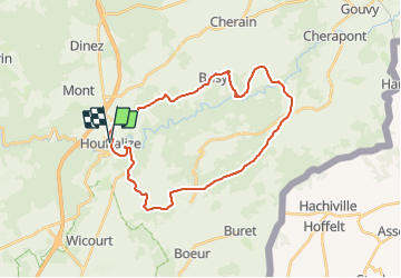

22 km | 29 km-effort

Randonnées du CGT GUIDE+


Gratisgps-wandelapplicatie
 SityTrail
IGN / Geografische instituten
SityTrail World
De wereld gaat voor u open
Tocht Mountainbike van 28 km beschikbaar op Wallonië, Luxemburg, Houffalize. Deze tocht wordt voorgesteld door Commissariat général au Tourisme.
Trail created by Cœur de l'Ardenne, au fil de l'Ourthe & de l'Aisne.

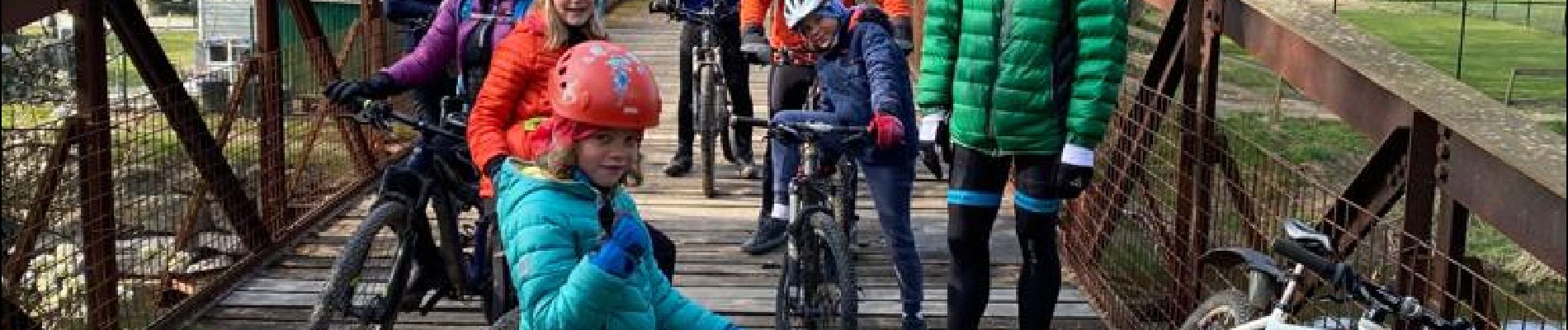
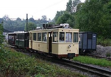
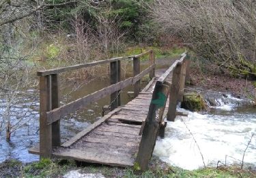
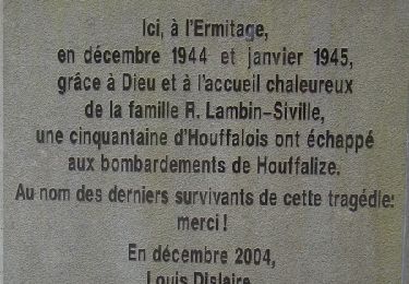
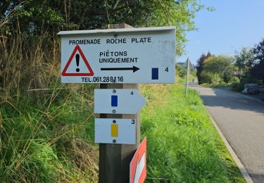
Stappen
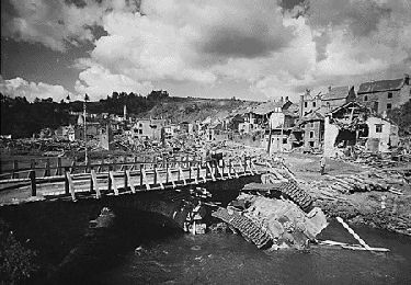
Stappen
Stappen
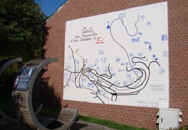
Stappen
Stappen
Stappen
Stappen
Stappen
Stappen