


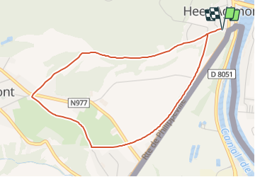

8 km | 9,4 km-effort


Randonnées du CGT GUIDE+


Gratisgps-wandelapplicatie
 SityTrail
IGN / Geografische instituten
SityTrail World
De wereld gaat voor u open
Tocht Te voet van 4,2 km beschikbaar op Wallonië, Namen, Hastière. Deze tocht wordt voorgesteld door Commissariat général au Tourisme.
Trail created by Vallée de la Meuse Namur-Dinant.
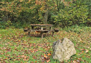
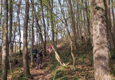
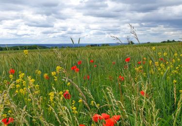
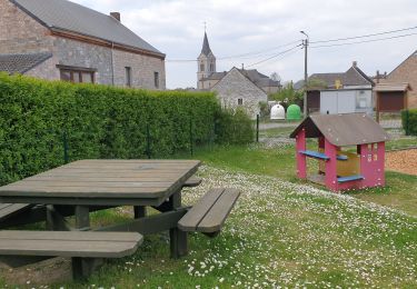
 - Photo 1")

Stappen

Stappen

Stappen

Stappen

Stappen
Stappen
Stappen
Stappen
Stappen