22 km | 26 km-effort
Vallée de l'Ourthe
Commissariat général au Tourisme
Randonnées du CGT GUIDE+
Lengte
28 km
Max. hoogte
496 m
Positief hoogteverschil
681 m
Km-Effort
37 km
Min. hoogte
387 m
Negatief hoogteverschil
681 m
Boucle
Ja
Datum van aanmaak :
2022-02-08 11:31:26.787
Laatste wijziging :
2022-02-21 10:12:47.58
8h19
Moeilijkheid : Moeilijk
Gratisgps-wandelapplicatie
Over ons
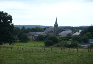
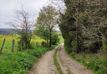
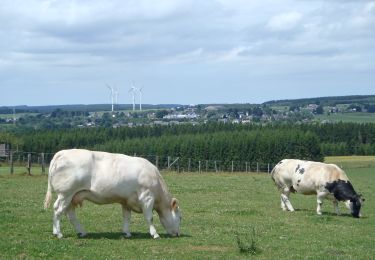
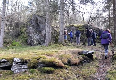
Tocht Te voet van 28 km beschikbaar op Wallonië, Luxemburg, Gouvy. Deze tocht wordt voorgesteld door Commissariat général au Tourisme.
Beschrijving
Trail created by Haute Ardenne.
Plaatsbepaling
Land:
Belgium
Regio :
Wallonië
Departement/Provincie :
Luxemburg
Gemeente :
Gouvy
Locatie:
Unknown
Vertrek:(Dec)
Vertrek:(UTM)
704566 ; 5562642 (31U) N.
Opmerkingen
Wandeltochten in de omgeving
15 juli 2012
Stappen
Heel gemakkelijk
(1)
Gouvy,
Wallonië,
Luxemburg,
Belgium
5,1 km | 6,1 km-effort
1h 53min
Ja
Promenade vers la réserve naturelle "Chi Fontaine" - Gouvy
Stappen
Gemakkelijk
(5)
Gouvy,
Wallonië,
Luxemburg,
Belgium
4,4 km | 5,3 km-effort
1h 11min
Ja
Au fil de l'eau - Gouvy
Stappen
Medium
(1)
Gouvy,
Wallonië,
Luxemburg,
Belgium
7,3 km | 9,6 km-effort
2h 11min
Ja
RB-Lu-29_Courtil_variante
Stappen
Zeer moeilijk
(1)
Gouvy,
Wallonië,
Luxemburg,
Belgium
28 km | 34 km-effort
7h 47min
Ja
RB-Lu-29_Courtil_via-racc
Stappen
Moeilijk
Gouvy,
Wallonië,
Luxemburg,
Belgium
15,3 km | 18,8 km-effort
4h 16min
Ja
Cherain - Gouvy
Stappen
Gemakkelijk
(1)
Gouvy,
Wallonië,
Luxemburg,
Belgium
8,9 km | 11,3 km-effort
2h 23min
Ja
GrWandARd 33:Brisy bossen en weiden aan de Oost-Ourthe
Te voet
Gemakkelijk
Gouvy,
Wallonië,
Luxemburg,
Belgium
8,6 km | 10,5 km-effort
2h 23min
Ja