


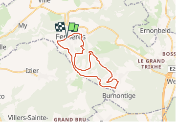

22 km | 28 km-effort


Randonnées du CGT GUIDE+


Gratisgps-wandelapplicatie
 SityTrail
IGN / Geografische instituten
SityTrail World
De wereld gaat voor u open
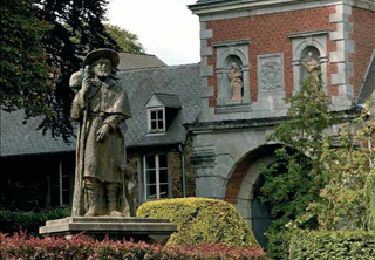
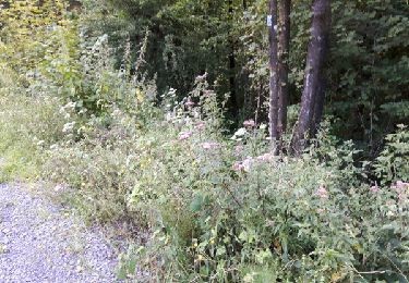
Tocht Mountainbike van 13,3 km beschikbaar op Wallonië, Luik, Ferrières. Deze tocht wordt voorgesteld door Commissariat général au Tourisme.
Trail created by Ourthe Vesdre Amblève.
Ferrières - Lognoul - Le Houpet - Le Thier - Fagnoule - Le Trou - Burnontige - Raumont - Au Petit Bois - Ferme de la Housse - Ferrières

Stappen

Stappen

Stappen
Stappen

Stappen
Stappen

Mountainbike
Stappen