


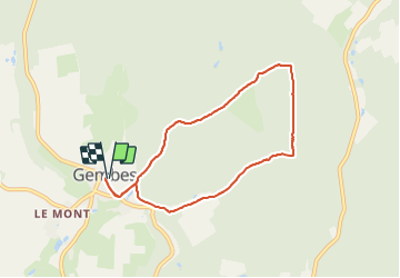


11,5 km | 14,5 km-effort


Randonnées du CGT GUIDE+


Gratisgps-wandelapplicatie
 SityTrail
IGN / Geografische instituten
SityTrail World
De wereld gaat voor u open
Tocht Te voet van 6,7 km beschikbaar op Wallonië, Luxemburg, Daverdisse. Deze tocht wordt voorgesteld door Commissariat général au Tourisme.
Trail created by Pays de Bouillon en Ardenne.
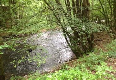
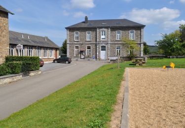
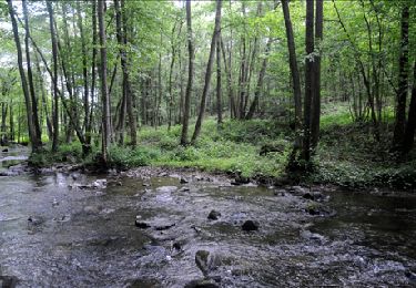
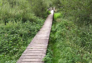
Na het verlaten van het dorp, maak een wandeling in het prachtige bos. Na een mooie heuvel en een terugkeer naar de rust, zult u welverdiend, een uitzicht hebben op het platteland, en het omliggende bos. Blijf hangen bij de Pont des Gades, langs de beek van L'Almache.


Stappen
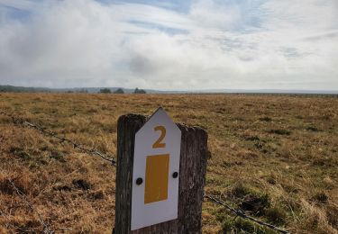
Te voet

Stappen

Stappen
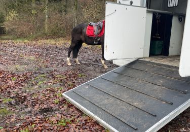
Paardrijden
Stappen
Stappen
Stappen
Te voet