![](/images/other/stat-length.png)
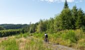
![Tocht Mountainbike Manhay - VTT 3 - Photo](https://media.geolcdn.com/t/1900/400/ext.pjpeg?maxdim=2&url=https%3A%2F%2Fpivotmedia.tourismewallonie.be%2FOTH-A0-005B-0158%2FOTH-A0-005B-0158.jpg)
VTT 3
Commissariat général au Tourisme
Randonnées du CGT GUIDE+
![Lengte](/images/other/stat-length.png)
Lengte
14,9 km
![Max. hoogte](https://static1.geolcdn.com/siteimages/upload/files/1508320355ic_sort_altitude_max_24dp.png)
Max. hoogte
539 m
![Positief hoogteverschil](https://static1.geolcdn.com/siteimages/upload/files/1508320355ic_sort_den_pos_24dp.png)
Positief hoogteverschil
347 m
![Km-Effort](/images/other/stat-length.png)
Km-Effort
19,5 km
![Min. hoogte](https://static1.geolcdn.com/siteimages/upload/files/1508320355ic_sort_altitude_min_24dp.png)
Min. hoogte
377 m
![Negatief hoogteverschil](https://static1.geolcdn.com/siteimages/upload/files/1508320355ic_sort_den_neg_24dp.png)
Negatief hoogteverschil
347 m
![Boucle](https://static1.geolcdn.com/siteimages/upload/files/16400158638029165_repeat_loop_refresh_sync_direction_icon.png)
Boucle
Ja
Datum van aanmaak :
2022-02-08 11:22:23.708
Laatste wijziging :
2022-02-21 10:03:33.247
![Mountainbike](https://static1.geolcdn.com/sitytour/trail-icons/202.png)
1h21
Moeilijkheid : Gemakkelijk
![Scan deze QR-code om de tocht te openen in de SityTrail-applicatie](https://capi.geolives.com/qq0zvz2zws4bq2lad0pu/sitytour/trails/3080149/qr.png?size=200)
Gratisgps-wandelapplicatie
Over ons
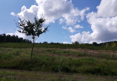
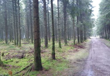
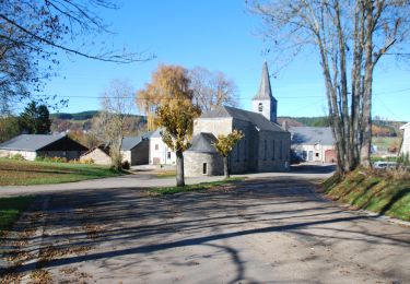
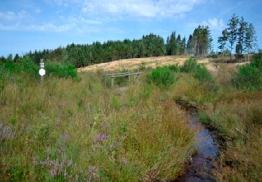
Tocht Mountainbike van 14,9 km beschikbaar op Wallonië, Luxemburg, Manhay. Deze tocht wordt voorgesteld door Commissariat général au Tourisme.
Beschrijving
Trail created by Cœur de l'Ardenne, au fil de l'Ourthe & de l'Aisne.
Plaatsbepaling
Land:
Belgium
Regio :
Wallonië
Departement/Provincie :
Luxemburg
Gemeente :
Manhay
Locatie:
Unknown
Vertrek:(Dec)
Vertrek:(UTM)
690545 ; 5574421 (31U) N.
Opmerkingen
Wandeltochten in de omgeving
![Tocht Stappen Érezée - Hoursinne. Natura 2000, des sites qui valent le détour. Lx 1 - Photo](https://media.geolcdn.com/t/375/260/ext.jpg?maxdim=2&url=https%3A%2F%2Fservices.sitytrail.com%2FGeolivesWS%2FDownloadMedia.ashx%3FTrailID%3D142589%26Media%3Df0338fc2-a78f-45f3-92a6-ccf3ccce12cc.JPG)
![Stappen Stappen](https://static1.geolcdn.com/sitytour/trail-icons/101.png)
Hoursinne. Natura 2000, des sites qui valent le détour. Lx 1
Stappen
Moeilijk
(9)
Érezée,
Wallonië,
Luxemburg,
Belgium
![](/images/other/stat-length.png)
8,1 km | 10,8 km-effort
2h 19min
![](https://static1.geolcdn.com/siteimages/upload/files/16400158638029165_repeat_loop_refresh_sync_direction_icon.png)
Ja
![Tocht Stappen Manhay - 2021-06-30_10h25m20_Cirkwi-PLANTISSE_(Commune_de_MANHAY) - Photo](https://media.geolcdn.com/t/375/260/b60c879b-a532-47f8-9457-412a61021edd.jpg&format=jpg&maxdim=2)
![Stappen Stappen](https://static1.geolcdn.com/sitytour/trail-icons/101.png)
2021-06-30_10h25m20_Cirkwi-PLANTISSE_(Commune_de_MANHAY)
Stappen
Gemakkelijk
(3)
Manhay,
Wallonië,
Luxemburg,
Belgium
![](/images/other/stat-length.png)
12,8 km | 16,7 km-effort
3h 47min
![](https://static1.geolcdn.com/siteimages/upload/files/16400158638029165_repeat_loop_refresh_sync_direction_icon.png)
Ja
![Tocht Stappen Vielsalm - baraque fraiture . rocher du diable . vallée de la géhe . la fondroule . Thier de la forge . las des cignes grognons . fraiture . baraque fraiture - Photo](https://media.geolcdn.com/t/375/260/1a4faef5-7559-417e-99e4-27ecaefd718d.jpg&format=jpg&maxdim=2)
![Stappen Stappen](https://static1.geolcdn.com/sitytour/trail-icons/101.png)
baraque fraiture . rocher du diable . vallée de la géhe . la fondroule . Thi...
Stappen
Heel gemakkelijk
(4)
Vielsalm,
Wallonië,
Luxemburg,
Belgium
![](/images/other/stat-length.png)
12,1 km | 16,5 km-effort
3h 24min
![](https://static1.geolcdn.com/siteimages/upload/files/16400158638029165_repeat_loop_refresh_sync_direction_icon.png)
Ja
![Stappen Stappen](https://static1.geolcdn.com/sitytour/trail-icons/101.png)
RB-Lu-32_Malempré_Boucle-1
Stappen
Medium
(1)
Manhay,
Wallonië,
Luxemburg,
Belgium
![](/images/other/stat-length.png)
23 km | 30 km-effort
6h 18min
![](https://static1.geolcdn.com/siteimages/upload/files/16400158638029165_repeat_loop_refresh_sync_direction_icon.png)
Ja
![Stappen Stappen](https://static1.geolcdn.com/sitytour/trail-icons/101.png)
RB-Lu-32_Malempré
Stappen
Zeer moeilijk
(2)
Manhay,
Wallonië,
Luxemburg,
Belgium
![](/images/other/stat-length.png)
22 km | 29 km-effort
6h 29min
![](https://static1.geolcdn.com/siteimages/upload/files/16400158638029165_repeat_loop_refresh_sync_direction_icon.png)
Ja
![Tocht Stappen Manhay - Odeigne, Natura 2000 - Des sites qui valent le détour. Lx10 - Photo](https://media.geolcdn.com/t/375/260/ext.jpg?maxdim=2&url=https%3A%2F%2Fservices.sitytrail.com%2FGeolivesWS%2FDownloadMedia.ashx%3FTrailID%3D181914%26Media%3D2ebe3571-d68b-4ddb-98f1-22a093149033.jpg)
![Stappen Stappen](https://static1.geolcdn.com/sitytour/trail-icons/101.png)
Odeigne, Natura 2000 - Des sites qui valent le détour. Lx10
Stappen
Gemakkelijk
(5)
Manhay,
Wallonië,
Luxemburg,
Belgium
![](/images/other/stat-length.png)
8,8 km | 10,9 km-effort
2h 23min
![](https://static1.geolcdn.com/siteimages/upload/files/16400158638029165_repeat_loop_refresh_sync_direction_icon.png)
Ja
![Tocht Stappen Érezée - Hoursine-Hoursine 12kms - Photo](https://media.geolcdn.com/t/375/260/c996774c-2642-4a86-94e0-eab3c7bcc053.jpg&format=jpg&maxdim=2)
![Stappen Stappen](https://static1.geolcdn.com/sitytour/trail-icons/101.png)
Hoursine-Hoursine 12kms
Stappen
Moeilijk
(1)
Érezée,
Wallonië,
Luxemburg,
Belgium
![](/images/other/stat-length.png)
12,5 km | 17,1 km-effort
3h 37min
![](https://static1.geolcdn.com/siteimages/upload/files/16400158638029165_repeat_loop_refresh_sync_direction_icon.png)
Ja
![Tocht Stappen Manhay - Derieux - Photo](https://media.geolcdn.com/t/375/260/ext.jpg?maxdim=2&url=https%3A%2F%2Fservices.sitytrail.com%2FGeolivesWS%2FDownloadMedia.ashx%3FTrailID%3D203687%26Media%3D881bc979-a407-486b-a86a-96a8c5851a06.jpg)
![Stappen Stappen](https://static1.geolcdn.com/sitytour/trail-icons/101.png)
Derieux
Stappen
Heel gemakkelijk
(4)
Manhay,
Wallonië,
Luxemburg,
Belgium
![](/images/other/stat-length.png)
10,1 km | 12,8 km-effort
2h 44min
![](https://static1.geolcdn.com/siteimages/upload/files/16400158638029165_repeat_loop_refresh_sync_direction_icon.png)
Ja
![Tocht Stappen Manhay - Adeps Manhay 2019 - Photo](https://media.geolcdn.com/t/375/260/973befab-8fc0-4d15-a847-1005c7bc733e.jpg&format=jpg&maxdim=2)
![Stappen Stappen](https://static1.geolcdn.com/sitytour/trail-icons/101.png)
Adeps Manhay 2019
Stappen
(1)
Manhay,
Wallonië,
Luxemburg,
Belgium
![](/images/other/stat-length.png)
10,2 km | 13,3 km-effort
1h 58min
![](https://static1.geolcdn.com/siteimages/upload/files/16400158638029165_repeat_loop_refresh_sync_direction_icon.png)
Ja