

VTT 2: L'Île aux Oiseaux
Commissariat général au Tourisme
Randonnées du CGT GUIDE+

Lengte
22 km

Max. hoogte
286 m

Positief hoogteverschil
392 m

Km-Effort
28 km

Min. hoogte
89 m

Negatief hoogteverschil
395 m
Boucle
Ja
Datum van aanmaak :
2022-02-08 11:22:00.177
Laatste wijziging :
2022-02-21 10:03:05.162
1h55
Moeilijkheid : Medium

Gratisgps-wandelapplicatie
Over ons
Tocht Mountainbike van 22 km beschikbaar op Wallonië, Namen, Hastière. Deze tocht wordt voorgesteld door Commissariat général au Tourisme.
Beschrijving
Trail created by Vallée de la Meuse Namur-Dinant.
Plaatsbepaling
Land:
Belgium
Regio :
Wallonië
Departement/Provincie :
Namen
Gemeente :
Hastière
Locatie:
Unknown
Vertrek:(Dec)
Vertrek:(UTM)
630357 ; 5564163 (31U) N.
Opmerkingen
Wandeltochten in de omgeving
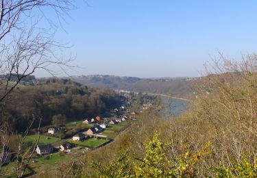
Balade de Hastière à Waulsort


Stappen
Medium
(2)
Hastière,
Wallonië,
Namen,
Belgium

10,8 km | 13,8 km-effort
3h 2min
Ja
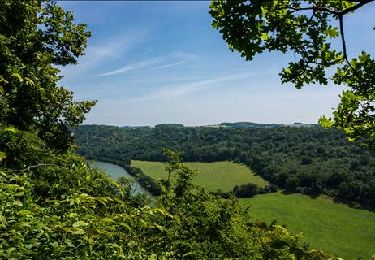
RB-Na-10 Raccourci 2 - Sur les crêtes mosanes


Stappen
Gemakkelijk
(2)
Hastière,
Wallonië,
Namen,
Belgium

18,1 km | 25 km-effort
4h 29min
Ja
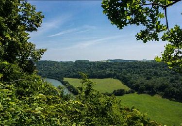
RB-Na-10 Raccourci 1 - Sur les crêtes mosanes


Stappen
Medium
(3)
Hastière,
Wallonië,
Namen,
Belgium

15,3 km | 21 km-effort
5h 28min
Ja
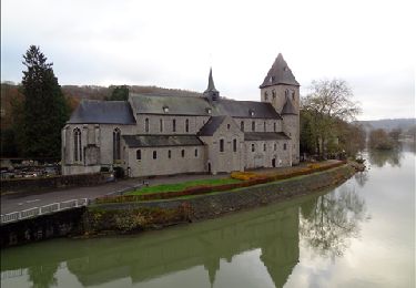
RB-Na-10 - Sur les crêtes mosanes


Stappen
Medium
(5)
Hastière,
Wallonië,
Namen,
Belgium

22 km | 29 km-effort
6h 21min
Ja
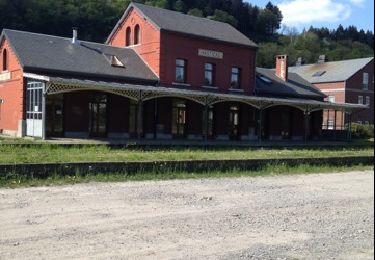
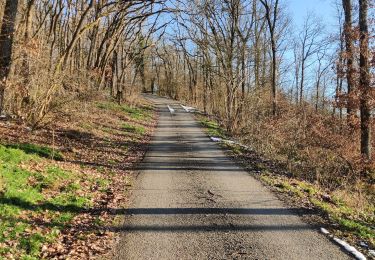
Hastiere, Entre mont et vallée


Stappen
Medium
(2)
Hastière,
Wallonië,
Namen,
Belgium

11,2 km | 14,3 km-effort
2h 5min
Ja
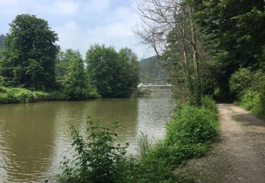
Balade de Hastière à Hermeton


Stappen
Gemakkelijk
(1)
Hastière,
Wallonië,
Namen,
Belgium

13,1 km | 16,8 km-effort
3h 37min
Ja
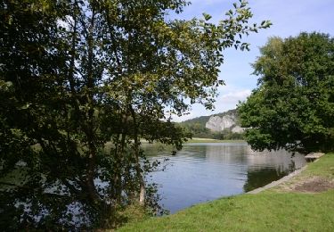
Waulsort - Circuit Natura 2000, des sites qui valent le détour - Na08


Stappen
Heel gemakkelijk
(4)
Hastière,
Wallonië,
Namen,
Belgium

4,5 km | 6,9 km-effort
1h 40min
Ja

De Gochenee vers Soulme par la vallee de l'Ermeton


Stappen
Medium
(1)
Doische,
Wallonië,
Namen,
Belgium

18,5 km | 24 km-effort
4h 40min
Ja


 SityTrail


