
Boucle de Mayronnes

PI11
Gebruiker

Lengte
10,5 km

Max. hoogte
384 m

Positief hoogteverschil
373 m

Km-Effort
15,5 km

Min. hoogte
238 m

Negatief hoogteverschil
372 m
Boucle
Ja
Datum van aanmaak :
2022-02-08 11:19:08.184
Laatste wijziging :
2022-02-08 11:26:54.571
3h31
Moeilijkheid : Gemakkelijk

Gratisgps-wandelapplicatie
Over ons
Tocht Te voet van 10,5 km beschikbaar op Occitanië, Aude, Mayronnes. Deze tocht wordt voorgesteld door PI11.
Beschrijving
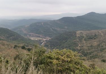
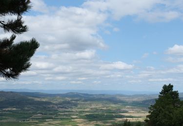
Hike from Mayronnes.
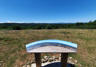
The route follows a part of the sculptural path.
So there is a sculpture exhibit on part of the trail.
See https://youtu.be/3bUIzlEetSk
Plaatsbepaling
Land:
France
Regio :
Occitanië
Departement/Provincie :
Aude
Gemeente :
Mayronnes
Locatie:
Unknown
Vertrek:(Dec)
Vertrek:(UTM)
461605 ; 4767343 (31T) N.
Opmerkingen
Wandeltochten in de omgeving

Labastide en val- Plateau Lacamp


Stappen
Medium
Labastide-en-Val,
Occitanië,
Aude,
France

20 km | 28 km-effort
5h 4min
Ja

Le chemin des panoramas à Labastide-en-Val (variante)


Stappen
Medium
Labastide-en-Val,
Occitanië,
Aude,
France

16,7 km | 24 km-effort
5h 0min
Ja


Michel_Picard_2022-05-29_09-51-49


Noords wandelen
Moeilijk
Labastide-en-Val,
Occitanië,
Aude,
France

18,7 km | 26 km-effort
Onbekend
Ja

le roc du Causse


Stappen
Medium
Taurize,
Occitanië,
Aude,
France

11,5 km | 16,5 km-effort
3h 52min
Ja


Taurize et le Pech Taurillou


Stappen
Medium
Taurize,
Occitanië,
Aude,
France

6,3 km | 9,4 km-effort
18h 50min
Ja


 SityTrail


