


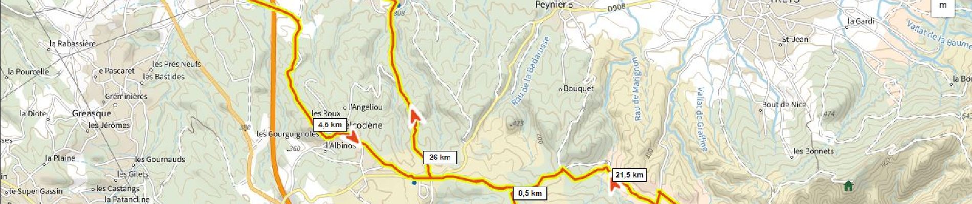
16,8 km | 21 km-effort

Gebruiker


Gratisgps-wandelapplicatie
 SityTrail
IGN / Geografische instituten
SityTrail World
De wereld gaat voor u open
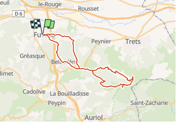
Tocht Mountainbike van 33 km beschikbaar op Provence-Alpes-Côte d'Azur, Bouches-du-Rhône, Fuveau. Deze tocht wordt voorgesteld door ericberlin.
Petites routes et DFCI uniquement.
Pas de passages délicats
L’été, consulter la carte des conditions d’accès au massifs forestiers dans le 13 en fonction du risque d’incendies : 0811 20 13 13
http://bpatp.paca-ate.fr/


Stappen

Mountainbike

Wegfiets

Mountainbike

Stappen

Wegfiets

Mountainbike

Wegfiets
Wegfiets